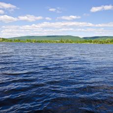
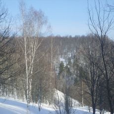
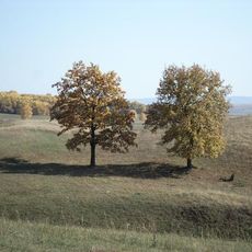
Ishimbaysky District, Municipal district in southern Bashkortostan, Russia
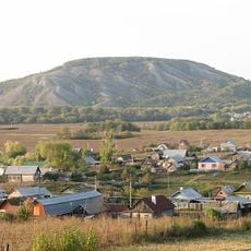
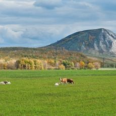
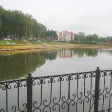
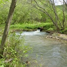
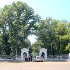
Ishimbaysky District is a municipal district in the southern part of Bashkortostan, Russia, made up of rural settlements, farmland, and stretches of natural terrain. The town of Ishimbay serves as the administrative center, connecting the surrounding villages by local roads.
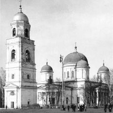
The district was set up in 1930 as an administrative unit during the Bashkir Autonomous Soviet Socialist Republic period. This was part of a broader reorganization of territories carried out across the Soviet Union at that time.
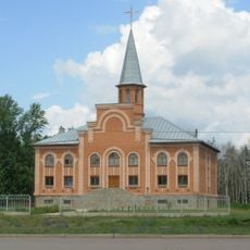
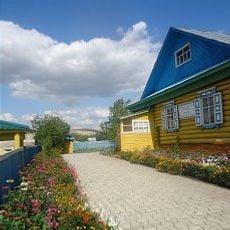
Russian, Bashkir, and Tatar communities live side by side across the villages, and their traditions are visible in local festivals, crafts, and everyday habits. Visitors can notice this mix most clearly during village gatherings and at local markets.
Ishimbay town offers basic services and is the best starting point for exploring the district. Since the villages are spread out, it is worth planning your route in advance and relying on local transport to move between them.
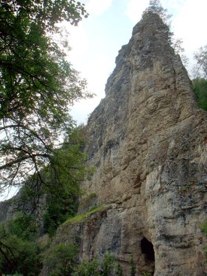
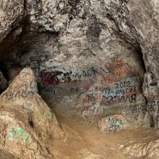
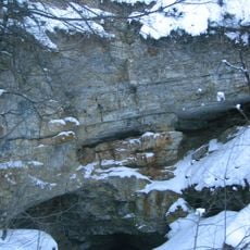
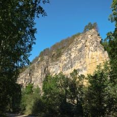
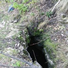
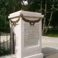
The district is home to the Kalim-Uskan rock formation, which contains the Salavat Yulayev Cave, named after a celebrated Bashkir hero and poet from the 18th century. The name connects the landscape directly to one of the most remembered figures in Bashkir history, whose memory is still very present in the region today.
The community of curious travelers
AroundUs brings together thousands of curated places, local tips, and hidden gems, enriched daily by 60,000 contributors worldwide.