Nurimanovsky District

Log in to your account

AroundUs is a community-driven map of interesting places, built by curious explorers like you. It grows with every review, story, and photo you share.
Connect to save your favorite spots, contribute locations, and create personalized routes.
Continue with Google
Continue with Apple
Continue with X
Continue with Facebook
Continue with email
By continuing, you accept our Terms and Conditions and our Privacy Policy
Create an account
Add to collection
Map
Suggest a change
Share

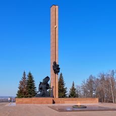
Nurimanovsky District, Municipal district in Bashkortostan, Russia

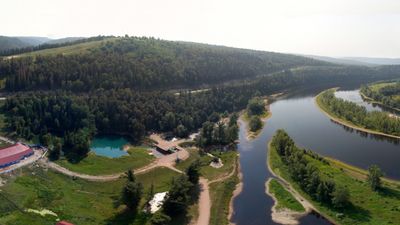
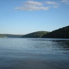
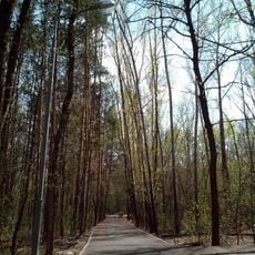
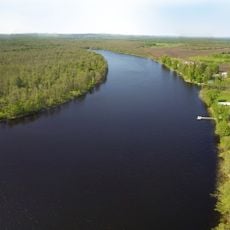
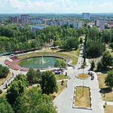
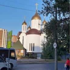
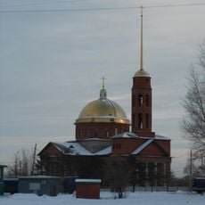
Nurimanovsky District is a municipal district in Bashkortostan that spreads along the Ufa River and encompasses numerous rural localities throughout the region. Krasnaya Gorka serves as its administrative center, positioned at an elevation of 130 meters (426 feet).

This district was officially established on August 20, 1930, representing a major administrative reorganization within the Bashkir Autonomous Soviet Socialist Republic. The creation reflected broader Soviet efforts to restructure regional governance during that era.

The district maintains strong Bashkir traditions visible in local place names, with Krasnaya Gorka also known as Qıźılyar in the Bashkir language. This linguistic heritage shapes how residents connect with their surroundings and pass down cultural practices through generations.

The district operates in the UTC+5 time zone and uses postal code 452440 for administrative communications. These details prove helpful when contacting local services or planning correspondence with regional offices.

The administrative center experienced steady population growth, expanding notably between 1989 and 2010 as the settlement developed. This trend reveals how the area continued to attract residents despite broader rural migration patterns in the region.

Location: Bashkortostan

Inception: August 20, 1930

Capital city: Krasnaya Gorka

Shares border with: Salavatsky District, Duvansky District, Karaidelsky District, Blagoveshchensky District, Iglinsky District, Chelyabinsk Oblast

GPS coordinates: 55.19722,56.66944

Latest update: December 10, 2025 15:54

Photos
Reviews

Visited this place? Tap the stars to rate it and share your experience / photos with the community! Try now! You can cancel it anytime.

« Nurimanovsky District - Municipal district in Bashkortostan, Russia » is provided by Around Us (aroundus.com). Images and texts are derived from Wikimedia project under a Creative Commons license. You are allowed to copy, distribute, and modify copies of this page, under the conditions set by the license, as long as this note is clearly visible.

Discover hidden gems everywhere you go!

From secret cafés to breathtaking viewpoints, skip the crowded tourist spots and find places that match your style. Our app makes it easy with voice search, smart filtering, route optimization, and insider tips from travelers worldwide. Download now for the complete mobile experience.

Around Us App Screenshot

A unique approach to discovering new places

Le Figaro

All the places worth exploring

France Info

A tailor-made excursion in just a few clicks

20 Minutes