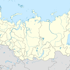
Malka, River system in Kabardino-Balkaria and Stavropol Krai, Russia.
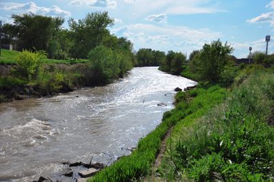
The Malka is a river system that flows for approximately 210 kilometers across Kabardino-Balkaria and Stavropol Krai. It originates from glaciers on the northern slopes of Mount Elbrus and carves through a broad valley that defines the landscape of the northern Caucasus.
The river formed a strategic line during World War II from 1942 to 1943, when German troops established defensive positions along its banks near Nalchik. The Malka became a boundary between rival military forces during these campaigns in the Caucasus.
The river shaped how communities developed along its banks over time, with towns like Prokhladny growing where the water provided reliable resources. Today, residents depend on it for irrigation and daily life in the region.
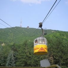
The river is most accessible from the Nalchik area, where several paths lead down to the water. The best time to visit is from May through September, when glacier melt flows steadily and conditions are more stable.
The river draws its water from the glaciers of Mount Elbrus, Europe's highest peak, giving it icy and clear water that stands apart from other regional waterways. This glacial water gives the river a milky-white appearance, especially during summer months when the glaciers melt fastest.
The community of curious travelers
AroundUs brings together thousands of curated places, local tips, and hidden gems, enriched daily by 60,000 contributors worldwide.