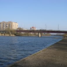
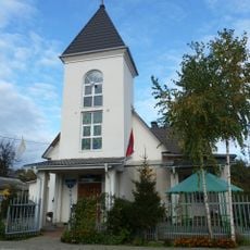
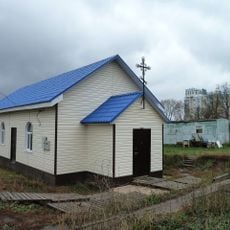
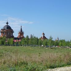
Central Russian Upland, Elevated plateau between Oka and Donets rivers, Russia.
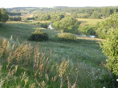
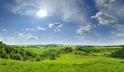
The Central Russian Upland is an expansive plateau situated between the Oka and Donets rivers, composed of sedimentary rock layers. The terrain features numerous valleys and watercourses that shape the landscape in varied ways.
The plateau formed over millions of years through deposits of sedimentary rock, creating distinct geological layers. These formations remain visible today and show how the landscape developed over deep time.
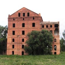
Archaeological sites scattered across the plateau reveal where ancient people lived and what they left behind. These traces show how the region has drawn inhabitants for thousands of years.
The area is known for its rich soil that supports agriculture across the region, making it economically important to surrounding communities. Visitors are best served by exploring during warmer months when paths and roads are most accessible.
The plateau serves as a natural watershed that splits water flow between the Black Sea and the Caspian Sea. This role has shaped drainage patterns and river directions across the region since ancient times.
The community of curious travelers
AroundUs brings together thousands of curated places, local tips, and hidden gems, enriched daily by 60,000 contributors worldwide.