Priuralsky District, Municipal district in Yamalo-Nenets Autonomous Okrug, Russia.
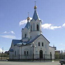
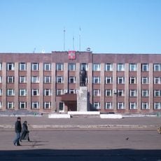
Priuralsky District is a municipal area in northern Russia that spans a vast territory with several settlements, with Aksarka serving as its administrative center. The district comprises one urban settlement and multiple rural communities spread throughout the region.
The district was established as an administrative division during the Soviet period and has experienced population growth over the decades. Settlement and development were driven by resource extraction activities in Russia's northern territories.
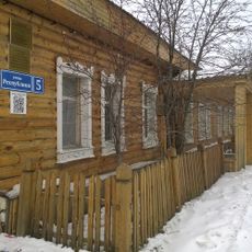
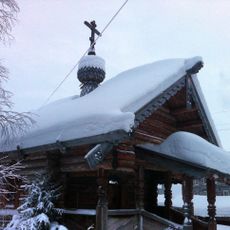
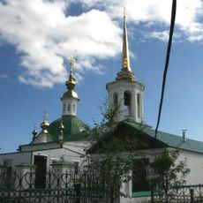
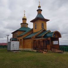
The district is home to indigenous peoples including Nenets, Khanty, and Komi communities who maintain their traditional ways of life. These groups shape local customs and social practices that you notice when visiting the settlements.
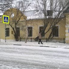
The district is located in the UTC+5 time zone and experiences a harsh climate with long, cold winters. Visitors should prepare for extreme weather conditions and bring appropriate gear for the season.
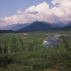
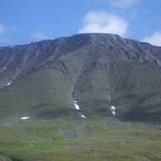
The district contains the Polar Ural Nature Reserve, which protects the native plant and animal life of this northern region. This reserve serves as a refuge for arctic species and offers visitors a glimpse into the untouched natural environment.
The community of curious travelers
AroundUs brings together thousands of curated places, local tips, and hidden gems, enriched daily by 60,000 contributors worldwide.