Yamalo-Nenets Autonomous Okrug
Yamalo-Nenets Autonomous Okrug, Administrative region in northwestern Siberia, Russia.
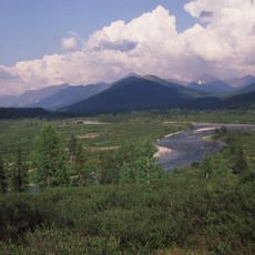
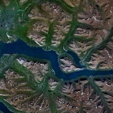
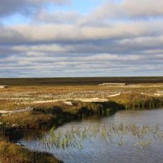
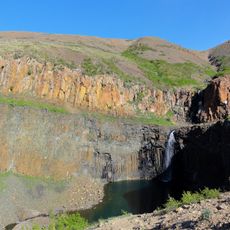
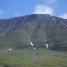
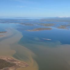
Yamalo-Nenets Autonomous Okrug is an administrative territory in northwestern Siberia covering arctic tundra, taiga forests, and the northern Urals. The landscape shifts from flat moss-covered plains in the north to forested hills and rocky mountain ridges along the western border.
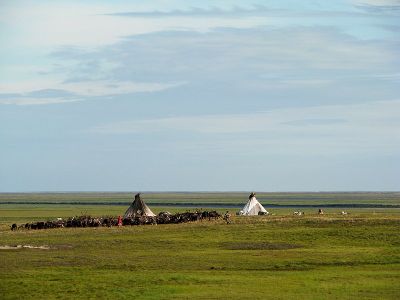
The region gained its autonomous status as an administrative unit to protect the rights of the Nenets, who had raised reindeer here for centuries. In the following decades, oil and gas discoveries transformed the territory and brought many new settlers.
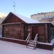
The Nenets live as nomadic reindeer herders in the tundra, following age-old migration routes with their herds. In small settlements you can see their traditional conical tents, called chums, and watch them process hides and dry fish.
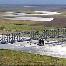
Most locations are far apart and accessible only by paved roads that remain open longer in winter. The climate stays cold almost year-round, with air warming briefly to mild temperatures in summer.
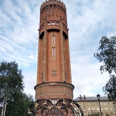
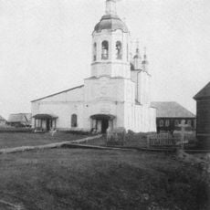
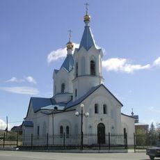
Salekhard, the capital of the territory, sits exactly on the Arctic Circle and is the only larger city worldwide in this position. During the summer solstice the sun remains above the horizon all day, and it disappears for weeks in winter.
Location: Tyumen Oblast
Inception: December 10, 1930
Capital city: Salekhard
Reference: RU-YAN
Part of: Ural Federal District
Shares border with: Nenets Autonomous Okrug, Komi Republic, Khanty-Mansi Autonomous Okrug, Krasnoyarsk Krai
Website: http://правительство.янао.рф
GPS coordinates: 67.25000,74.66667
Latest update: December 14, 2025 22:28
MT-LB
432.9 km
2S1 Gvozdika
154.3 km
Sabetta
456.5 km
152 mm howitzer 2A65
154.3 km
Mangazeya
336 km
Virgin Komi Forests
695 km
Obskaya–Bovanenkovo Line
422.9 km
Varandey
710.5 km
Lake Lama
670.5 km
Новопортовский мерзлотник
90 km
Nord Kamal Mosque
602.2 km
Zapovednik Gydansky
567.6 km
Upper Taz Nature Reserve
601.8 km
Krasnye Kamny
619.1 km
First house Norilsk
602.7 kmAbez labor camp
567.5 kmYuribey Bridge
259.6 kmМузей Сталина (Курейка)
549.5 km
Permafrost Museum
511.6 km
Inta water tower
653.6 km
Turukhansk Holy Trinity Monastery
610.9 kmНадымское городище
198.9 km
Dvorets Kultury Shakterov
455 km
Peter and Paul Church
361.7 km
Харнаурды-Кеу
372.5 km
Khantayka Reservoir
561 km
Brekhovskie Islands
502.1 kmKureyka Reservoir
592 kmVisited this place? Tap the stars to rate it and share your experience / photos with the community! Try now! You can cancel it anytime.
Discover hidden gems everywhere you go!
From secret cafés to breathtaking viewpoints, skip the crowded tourist spots and find places that match your style. Our app makes it easy with voice search, smart filtering, route optimization, and insider tips from travelers worldwide. Download now for the complete mobile experience.
A unique approach to discovering new places❞
— Le Figaro
All the places worth exploring❞
— France Info
A tailor-made excursion in just a few clicks❞
— 20 Minutes