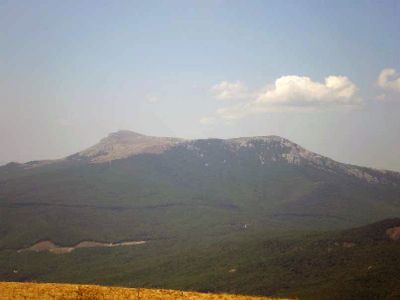
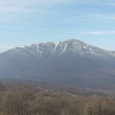
Chatyr-Dag, Mountain range in Crimea.
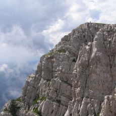
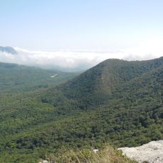
Chatyr-Dag is a mountain range in Crimea consisting of two distinct plateaus with different elevations and characteristics. The upper plateau peaks at Eklizi-Burun while the lower plateau extends northward and contains most of the accessible passages and underground chambers.
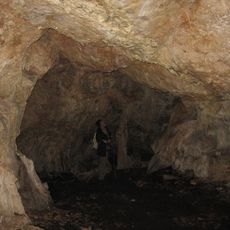
The mountain range formed through geological processes over millions of years, creating the complex karst landscape visible today. Human occupation in nearby cave systems extends back to prehistoric times, making the area significant for understanding early settlement patterns.
The mountain range carries a name rooted in local identity: Crimean Tatars call it Tent Mountain for its distinctive tent-like shape when viewed from the plains below. This name reflects how communities shaped their relationship with this prominent geographical feature.
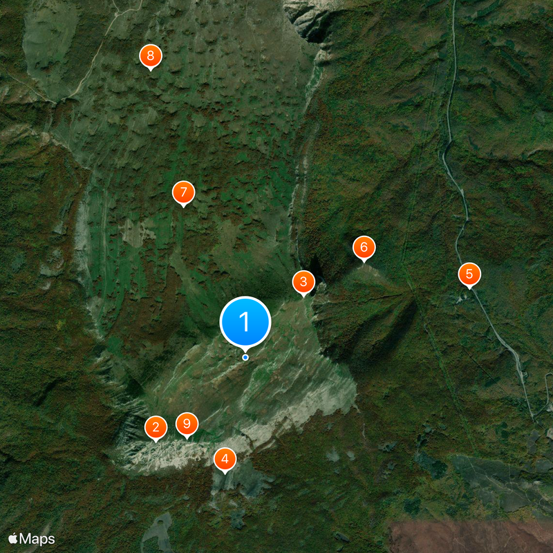
The lower plateau is easier to access and offers numerous marked walking paths along with two cave systems available for guided exploration. Spring through autumn provides the best conditions for visiting, when trails are dry and passage through caves is straightforward.
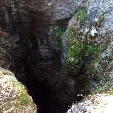
The mountain system contains numerous sinkholes and a vast network of caves that form a remarkable underground landscape beneath the surface. This intricate karst topography developed over centuries through dissolution of limestone and dolomite, creating passages and chambers of varying sizes and shapes.
The community of curious travelers
AroundUs brings together thousands of curated places, local tips, and hidden gems, enriched daily by 60,000 contributors worldwide.