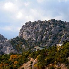
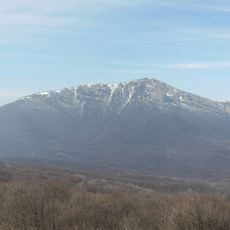
Tsukrova Holivka, Mountain summit in Crimean Peninsula, Ukraine
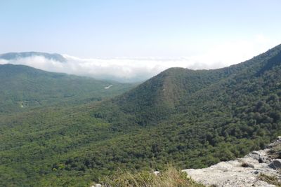
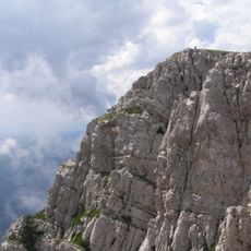
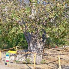
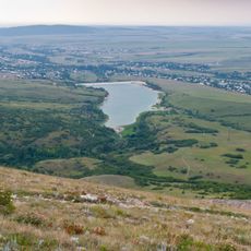
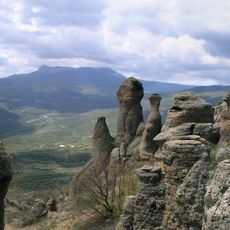
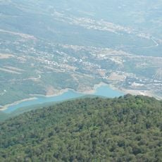
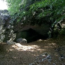
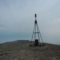
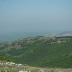
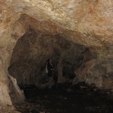
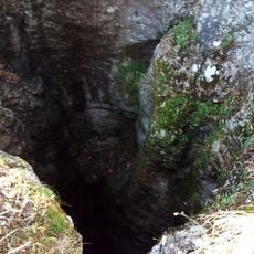
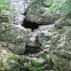
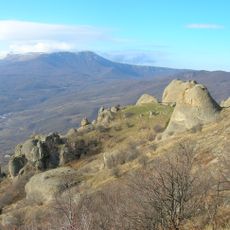
Tsukrova Holivka rises to 1053 meters and features densely forested slopes with rock formations along its eastern sides. The summit opens into a meadow surrounded by exposed stone belts that contrast with the tree-covered lower sections.
The peak got its name, meaning Sugar Head, from local inhabitants who saw its cone shape resembling refined sugar blocks made in earlier centuries. This folk name became the way communities identified this distinctive landmark in their landscape.
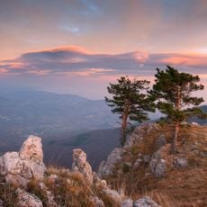
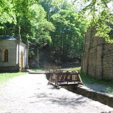
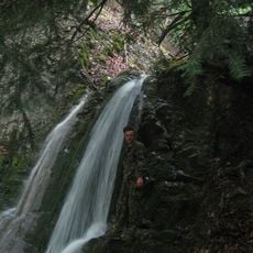
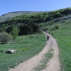
The mountain serves as a destination for local hikers who follow traditional routes across the ridge and gather for seasonal outdoor activities. These routes have become part of the region's outdoor culture over many decades.
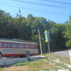
Visitors can reach the summit via marked trails starting from Angarskyi Pass, located roughly 1.5 kilometers southeast of the peak. The routes are accessible on foot and vary in difficulty depending on your fitness level.
The mountain displays an unusual structure where a forest-covered cone leads to an open summit meadow framed by rock belts. This mix of dense woodland and exposed peak creates a visual contrast that makes the climb distinctive.
The community of curious travelers
AroundUs brings together thousands of curated places, local tips, and hidden gems, enriched daily by 60,000 contributors worldwide.