
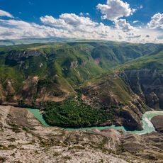
Sulak Canyon
8.2 km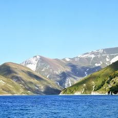
Kezenoyam
58.5 km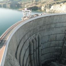
Chirkey Dam
13.3 km
Chirkey Reservoir
14.8 km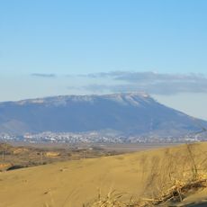
Tarki-Tau
58.3 km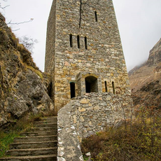
Gimry tower
36.3 km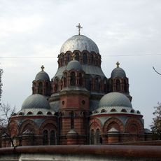
Church of the Theotokos of the Sign
24.9 km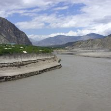
Irganai Reservoir
44.9 km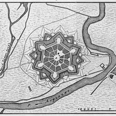
Fortress of the Holy Cross
46.1 km
Khunzakh Fortress
56.3 km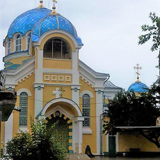
Orthodox cathedral of the Dormition of Our Lady in Makhachkala
58 km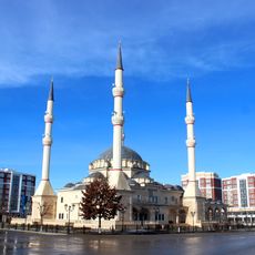
Kurchaloy Mosque
56.3 km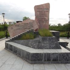
Monument to the Victims of Stalinism Chechens Akkin
23.7 km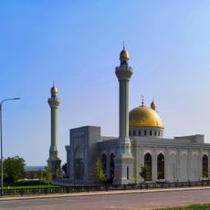
Oyskhara Mosque
47.4 km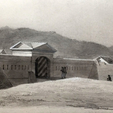
Gerzel-aul
34.7 km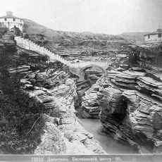
Евгеньевское укрепление
17.2 km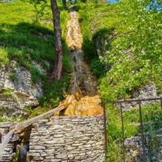
Харачойский водопад
51.9 km
Айдамиров Абузаран Литературин-мемориалан музей
33.6 km
Мемориальный комплекс участникам ВОВ
23.6 km
Крепость Ведено
54.6 km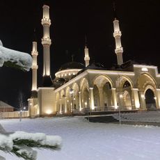
Mayrtup Cuma Mosque
53.7 km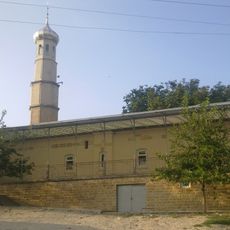
Yurd-Aux məscidi
15.4 km
Canta-Aukh
22.9 km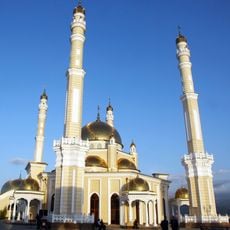
Benoy Mosque
36.1 km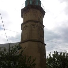
Старинные мечети (Эндирей)
14.3 km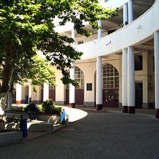
Здание Сельхозинститута - первое в СССР здание из “теплого” бетона (Махачкала)
58.8 km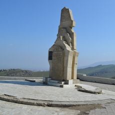
Обелиск строителям дороги Порт-Петровск - Темир-Хан-Шура (Ленинкент)
51.1 km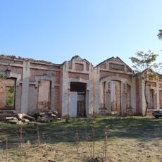
Здание вокзала на ж\д станции (Кумторкала)
39.8 kmReviews
Visited this place? Tap the stars to rate it and share your experience / photos with the community! Try now! You can cancel it anytime.
Discover hidden gems everywhere you go!
From secret cafés to breathtaking viewpoints, skip the crowded tourist spots and find places that match your style. Our app makes it easy with voice search, smart filtering, route optimization, and insider tips from travelers worldwide. Download now for the complete mobile experience.

A unique approach to discovering new places❞
— Le Figaro
All the places worth exploring❞
— France Info
A tailor-made excursion in just a few clicks❞
— 20 Minutes