
Amur, human settlement in Kuytunsky District, Irkutsk Oblast, Russia
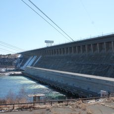
Bratsk Hydroelectric Power Station
234.2 km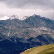
Monkh Saridag
280.3 km
Bratsk Reservoir
229.8 km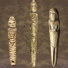
Venus figurines of Mal'ta
221 km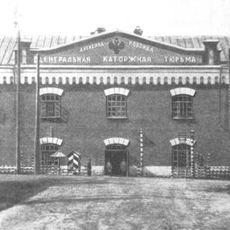
Alexandrovsky Central
239.1 km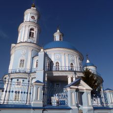
Church of the Theotokos of Kazan
241.2 km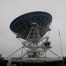
Badary RTF-32
282.4 km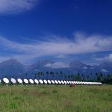
Radioastrophysical Observatory Badary
283.3 km
Jermak
262.6 km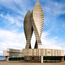
Мемориал Славы (Братск)
218.2 km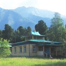
Khoymorsky datsan
271.4 km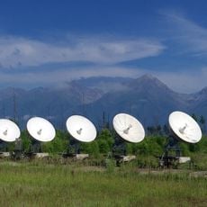
Siberian Solar Radio Telescope
283.3 km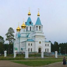
Holy Trinity church in Angarsk
262.1 km
Бурински Дача
68.7 km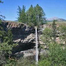
Baga-Zjombolok
185.4 km
Якимовка
257.3 km
Большелихачевски
81.8 km
Большерастягаевски
83.4 km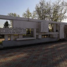
Памятник политкаторжанам в Ангарске
262.8 km
Верхнеокинский
84.7 km
Борови
33.1 km
Бахвалово
93.3 km
Вантеевская
228.1 km
Участок Благодатний
96.6 km
Oktyabrisky
158.2 km
Верхний
101.1 km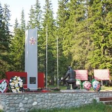
Памятник воинам-землякам, погибшим в годы Великой Отечественной войны (Аршан)
270.8 km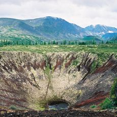
Peretolchin
216.5 kmVisited this place? Tap the stars to rate it and share your experience / photos with the community! Try now! You can cancel it anytime.
Discover hidden gems everywhere you go!
From secret cafés to breathtaking viewpoints, skip the crowded tourist spots and find places that match your style. Our app makes it easy with voice search, smart filtering, route optimization, and insider tips from travelers worldwide. Download now for the complete mobile experience.

A unique approach to discovering new places❞
— Le Figaro
All the places worth exploring❞
— France Info
A tailor-made excursion in just a few clicks❞
— 20 Minutes