Chest opened
+${chestReward.xp} XP
Explorer
NOUVEAU ×${chestReward.collectible.quantity}
tapez pour fermer

See the monuments around you in AR Open chests in the app

Around Us is built for your phone — point your camera at the streets and discover the monuments and places around you in augmented reality. Around Us is built for your phone — chests unlock when you walk, explore and capture nearby places.

•

Enable Location

We need your location to show you interesting places around you

Discover nearby places

Find interesting locations and hidden gems around you

Precise directions

Get accurate directions and distances to places

Your location is never shared with other users. It's only used when you tap the location button.

Baga-Zjombolok

Log in to your account

Start exploring — it's free

Trusted by 93,120 travelers worldwide

Continue with Google
Continue with Apple
or

We will send you a code to connect

By continuing, you accept our Terms and Conditions and our Privacy Policy

Check your inbox

We've sent a pincode in your inbox. Please enter the code below.

Baga-Zjombolok

Baga-Zjombolok, Natural waterfall in eastern Siberia, Russia.

Baga-Zjombolok is a 20–22 m waterfall on the narrow Bagha-Zhombolok channel of the Zhombolok River in Buryatia's Okinsky District. The channel crosses a flat lava field before dropping over the edge of the Oka River canyon, near the confluence with the Oka Sayanskaya.

The waterfall was first documented in the 19th century, when the Russian geographer and prince Pyotr Kropotkin visited the area. In 2014 the site was improved with a perimeter fence, viewing platforms, a staircase down to the water, a platform beneath the falls and changing cabins.

For local residents the waterfall is a sacred site, and a small shrine pavilion, a burkhan, stands at the top of the falls. The narrow channel that feeds it is called Baga-Zhombolok, the name by which the place is also known.

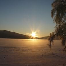
The waterfall lies on the Baga-Zhombolok channel where it drops into the canyon of the Oka Sayanskaya. A road allows visitors to drive right up to it by car, and since 2014 a fence, viewing platforms, a staircase down to the water and changing cabins have been installed. In winter the fall freezes into a large stalactite and stalagmite.

In winter the waterfall freezes into a large stalactite and stalagmite of ice, as the Russian sources describe the frozen forms. The site was improved in 2014 with a perimeter fence, viewing platforms, a staircase down to the water and changing cabins.

The community of curious travelers

AroundUs brings together thousands of curated places, local tips, and hidden gems, enriched daily by 93,120 contributors worldwide.

Start exploring
GPS coordinates
52.76596,99.74544
Latest update
October 29, 2026 01:04
Around this place
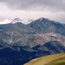
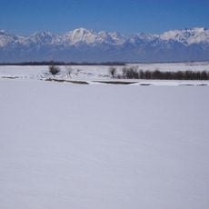
Sayan Mountains
Russian Federation

Sayan Mountains

80.3 mi
Vostochny Sayan
Russian Federation

Vostochny Sayan

133 mi
Monkh Saridag
Mongolia

Monkh Saridag

80.9 mi
Azas Nature Reserve
Russian Federation

Azas Nature Reserve

152.9 mi
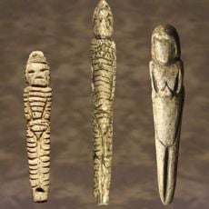
Venus figurines of Mal'ta
Russian Federation

Venus figurines of Mal'ta

157.8 mi
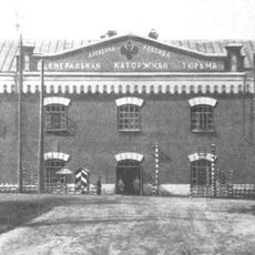
Alexandrovsky Central
Russian Federation

Alexandrovsky Central

171 mi
Tunkinsky National Park
Russian Federation

Tunkinsky National Park

125.9 mi
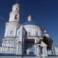
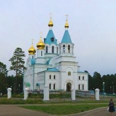
Church of the Theotokos of Kazan
Russian Federation

Church of the Theotokos of Kazan

166.3 mi
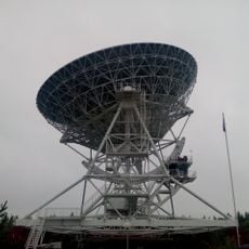
Badary RTF-32
Russian Federation

Badary RTF-32

125.9 mi
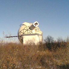
Sayan Solar Observatory
Russian Federation

Sayan Solar Observatory

93.5 mi
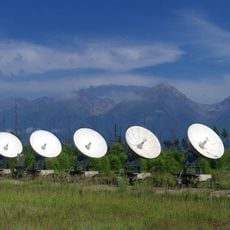
Radioastrophysical Observatory Badary
Russian Federation

Radioastrophysical Observatory Badary

125.7 mi
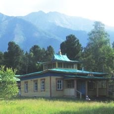
Khoymorsky datsan
Russian Federation

Khoymorsky datsan

128 mi
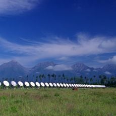
Siberian Solar Radio Telescope
Russian Federation

Siberian Solar Radio Telescope

125.7 mi
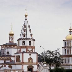
Holy Trinity church in Angarsk
Russian Federation

Holy Trinity church in Angarsk

173.9 mi
Russian Federation

Бурински Дача

134 mi
Russian Federation

Якимовка

160.2 mi
Большелихачевски
Russian Federation

Большелихачевски

137.2 mi
Большерастягаевски
Russian Federation

Большерастягаевски

130.5 mi
Верхнеокинский
Russian Federation

Верхнеокинский

81.2 mi
Борови
Russian Federation

Борови

114.2 mi
Бахвалово
Russian Federation

Бахвалово

76.4 mi
Jermak
Russian Federation

Jermak

172.8 mi
Участок Благодатний
Russian Federation

Участок Благодатний

105.3 mi
Верхний
Russian Federation

Верхний

103.5 mi
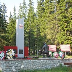
Памятник воинам-землякам, погибшим в годы Великой Отечественной войны (Аршан)
Russian Federation

Памятник воинам-землякам, погибшим в годы Великой Отечественной войны (Аршан)

127.8 mi
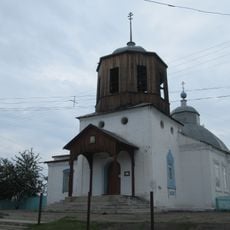
Покровская церковь (Тунка)
Russian Federation

Покровская церковь (Тунка)

137.8 mi
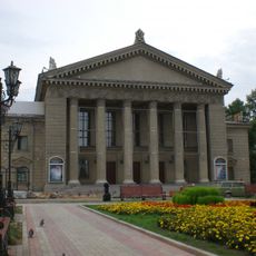
Dvorets Kultury Neftekhimik
Russian Federation

Dvorets Kultury Neftekhimik

174.4 mi
Irkutsk historical center
Russian Federation

Irkutsk historical center

146 mi
Show the full map
Reviews
Share your experience

No review yet

Discussions
Start a discussion...

No discussion yet

« Baga-Zjombolok - Natural waterfall in eastern Siberia, Russia » is provided by Around Us (aroundus.com). Images and texts are derived from Wikimedia project under a Creative Commons license. You are allowed to copy, distribute, and modify copies of this page, under the conditions set by the license, as long as this note is clearly visible.

Discover hidden gems everywhere you go!

From secret cafés to breathtaking viewpoints, skip the crowded tourist spots and find places that match your style. Our app makes it easy with voice search, smart filtering, route optimization, and insider tips from travelers worldwide. Download now for the complete mobile experience.

Around Us App Screenshot
❝

A unique approach to discovering new places❞

— Le Figaro

❝

All the places worth exploring❞

— France Info

❝

A tailor-made excursion in just a few clicks❞

— 20 Minutes

Around Us
Travel Guide & Maps
Download

Send to your phone

QR Code
1

Open the camera app on your mobile.

2

Point at the QR code with your camera. A notification will appear.

3

Tap the notification to open the link.