Kattegat

Log in to your account

AroundUs is a community-driven map of interesting places, built by curious explorers like you. It grows with every review, story, and photo you share.
Connect to save your favorite spots, contribute locations, and create personalized routes.
By continuing, you accept our Terms and Conditions and our Privacy Policy
Add to collection
Map
Suggest a change
Share

Kattegat, Strait between Denmark and Sweden, North Sea

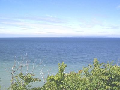
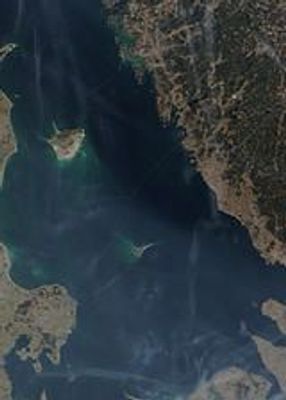
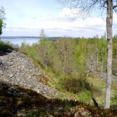
The Kattegat is a strait that separates Denmark from Sweden and forms the transition between the Baltic Sea and the North Sea. This waterway stretches from the Jutland peninsula in the west to the Swedish provinces of Bohuslän, Västergötland, Halland and Scania in the east, encompassing numerous islands and shallow waters.

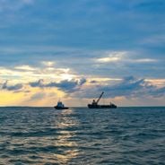
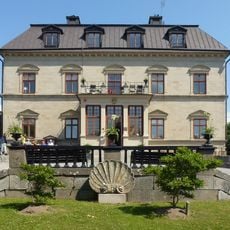
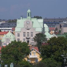
For centuries, this strait served as the only sea route for ships traveling between the Baltic Sea and the world oceans. Trade through the Kattegat brought prosperity to both coastal nations and shaped the maritime traditions still visible today.

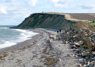
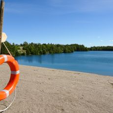
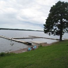
Small fishing villages along both Danish and Swedish shores maintain traditional methods used for generations to catch herring and other fish. Local communities hold summer festivals featuring freshly prepared seafood, where visitors can experience the close bond between people and the sea.

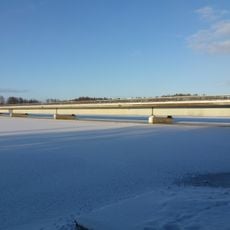
Travelers crossing by ferry between Danish and Swedish ports pass through these waters and can observe the low islands and open sea around them. Navigation here depends on marked channels and lighthouses, as many areas contain reefs and shallow sections.

The water forms two separate layers with different salt content, the upper layer being less salty than the deeper one. This separation occurs because freshwater flowing from the Baltic Sea sits above the saltier water entering from the North Sea.

Location: Västra Götaland County

Location: Skåne County

Location: Halland County

Location: North Denmark Region

Location: Central Denmark

Location: Southern Denmark

Location: Capital Region of Denmark

Location: Region Zealand

Part of: Atlantic Ocean

Shares border with: Skagerrak

GPS coordinates: 56.92833,11.42806

Latest update: December 14, 2025 20:39

Photos
The most important maritime straits in the World

Maritime straits are among the most important sea passages in the world. These natural waterways between landmasses connect oceans and seas, allowing the movement of cargo ships, tankers, and container vessels. The Strait of Malacca between Malaysia and Indonesia is one of the busiest routes for...

Reviews

Visited this place? Tap the stars to rate it and share your experience / photos with the community! Try now! You can cancel it anytime.

« Kattegat - Strait between Denmark and Sweden, North Sea » is provided by Around Us (aroundus.com). Images and texts are derived from Wikimedia project under a Creative Commons license. You are allowed to copy, distribute, and modify copies of this page, under the conditions set by the license, as long as this note is clearly visible.

Discover hidden gems everywhere you go!

From secret cafés to breathtaking viewpoints, skip the crowded tourist spots and find places that match your style. Our app makes it easy with voice search, smart filtering, route optimization, and insider tips from travelers worldwide. Download now for the complete mobile experience.

Around Us App Screenshot

A unique approach to discovering new places

Le Figaro

All the places worth exploring

France Info

A tailor-made excursion in just a few clicks

20 Minutes