Skäralid, Rift valley in Söderåsen National Park, Sweden
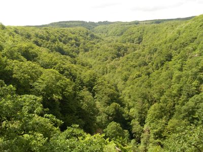
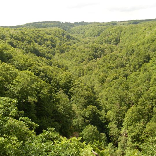
Skäralid is a rift valley, or canyon valley, in Söderåsen National Park with landslide cliffs up to 100 metres high. The photograph shows a V-shaped depression running from lower left to upper right, its slopes and floor covered entirely by woodland canopy; no rock faces, water, paths or structures are visible.
Skäralid is a rift valley in Söderåsen National Park, cut into a fault line in the gneiss bedrock. Its present shape results from four ice ages during the last few million years, whose glaciers and meltwater widened and deepened the fissure. The valley sides are landslide scarps up to 100 metres high.
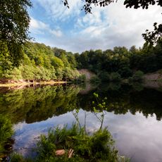
The name Skäralid refers to the rift valley itself, while the nearby settlement shares it. At the mouth of the ravine, by Skäralidsdammen, stands the national park's visitor centre, the starting point for walks into the valley. The viewpoint Kopparhatten, on the adjacent ridge, is where most visitors first take in the full length of the cleft.
The national park's visitor centre sits at the mouth of the ravine by Skäralidsdammen, a useful starting point before entering the valley. Kopparhatten, the adjacent viewpoint, looks down into the V-shaped depression from the ridge above.
Several viewpoints such as Kopparhatten and Hjortsprånget are positioned throughout the area, each offering different angles to observe the valley's rock formations. These spots let visitors examine specific geological features and the cliff walls from close vantage points.
The community of curious travelers
AroundUs brings together thousands of curated places, local tips, and hidden gems, enriched daily by 94,122 contributors worldwide.