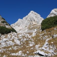
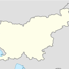
Kanjavec, Mountain summit in Triglav National Park, Slovenia
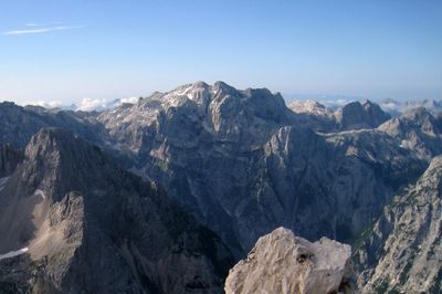
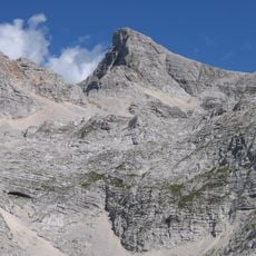
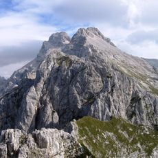
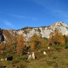
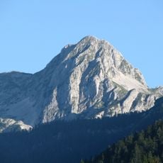
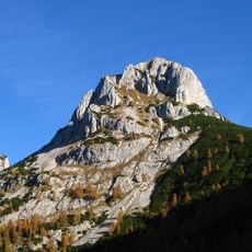
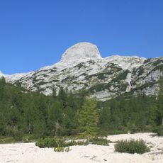
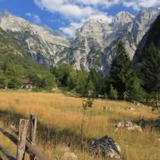
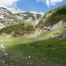
Kanjavec is a mountain summit in the Julian Alps reaching 2,569 meters and sits within a network of passes and hiking corridors. The surrounding terrain connects several important routes and serves as a central landmark for visitors exploring the region.
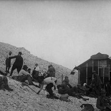
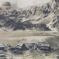
The summit served as a geographical reference point across historical travel routes through the Julian Alps and maintained its importance as a landmark. Its position south of Triglav made it a known destination for early mountaineers exploring the region.
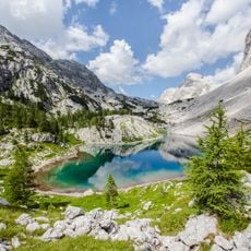
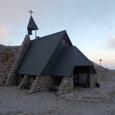
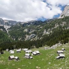
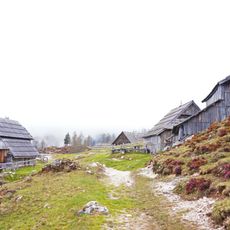
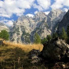
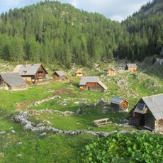
Slovenian mountaineers consider Kanjavec a testament to Alpine climbing traditions, with numerous hiking paths connecting mountain huts and lakes.
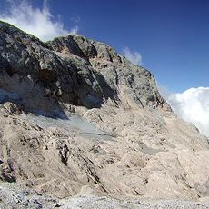
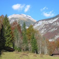
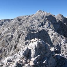
The ascent from most starting points requires several hours of steady hiking along marked mountain trails. Routes pass through alpine pass areas, so visitors should bring proper footwear and endurance for the climb.
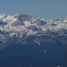
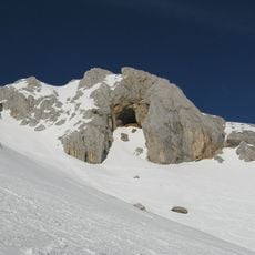
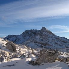
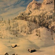
During winter months, Kanjavec transforms into a premier ski touring destination, offering extensive routes across its snow-covered terrain.
The community of curious travelers
AroundUs brings together thousands of curated places, local tips, and hidden gems, enriched daily by 60,000 contributors worldwide.