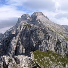
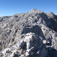
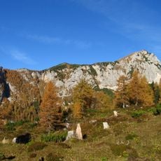
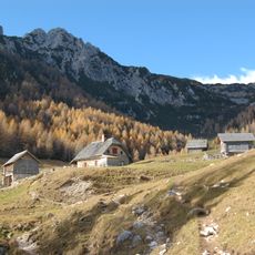
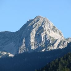
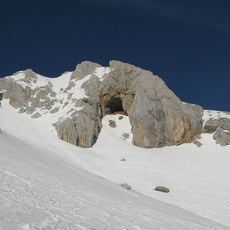
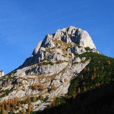
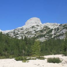
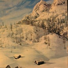
Triglav glacier, Alpine glacier in Triglav National Park, Slovenia
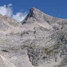
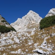
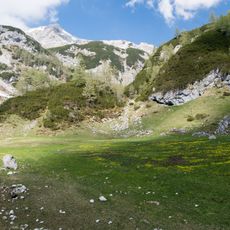
Triglav glacier is an ice field in the Julian Alps situated at elevations between 2400 and 2500 meters (7900 to 8200 feet). The ice masses have an irregular shape and shift in size depending on the season and weather conditions.
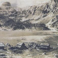
The glacier was significantly larger at the end of the 1800s and covered a much greater area than it does today. A major turning point came in 1992 when it split into two separate sections due to rising temperatures.
Locals long called the glacier Zeleni sneg ("green snow") after the firn that gives the ice a blue-green tint. Anton Melik Geographical Institute at ZRC SAZU has measured it since 1946, and in 1955 surveyors found dead ice beneath moraine rubble, evidence of a much larger former extent.
The glacier lies on the north-east slope below the Triglav summit, and the moraine ridges are preserved beneath the Glava hillock. The bedrock under the ice is karst, so meltwater drains underground rather than across the surface. The Anton Melik Geographical Institute has run a webcam on the site, letting hikers check current snow and ice cover before setting out.
The glacier's old Slovene name, Zeleni sneg ("green snow"), comes from the firn that turns blue-green under pressure. In 1955 surveyors found dead ice beneath moraine debris, showing the ice had once been far more extensive. Since 1946 the Anton Melik Geographical Institute has measured it; by the late 2010s it covered less than one hectare.
The community of curious travelers
AroundUs brings together thousands of curated places, local tips, and hidden gems, enriched daily by 93,485 contributors worldwide.