Enable Location

We need your location to show you interesting places around you

Discover nearby places

Find interesting locations and hidden gems around you

Precise directions

Get accurate directions and distances to places

Your location is never shared with other users. It's only used when you tap the location button.

Poludňový grúň

Log in to your account

Start exploring — it's free

Trusted by 62,127 travelers worldwide

Continue with Google
Continue with Apple
or

We will send you a code to connect

By continuing, you accept our Terms and Conditions and our Privacy Policy

Check your inbox

We've sent a pincode in your inbox. Please enter the code below.

Poludňový grúň

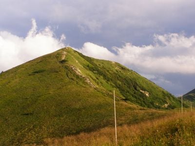
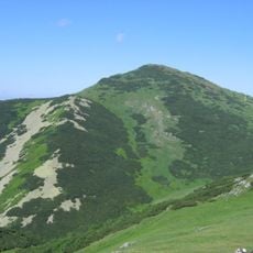
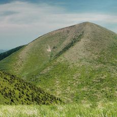
Poludňový grúň, Mountain summit in Žilina District, Slovakia.

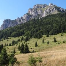
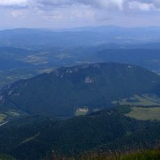
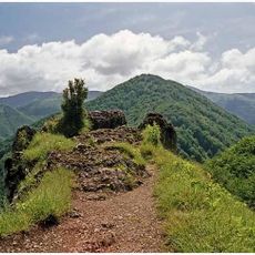
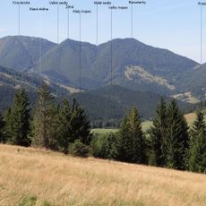
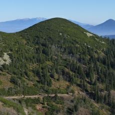
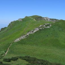
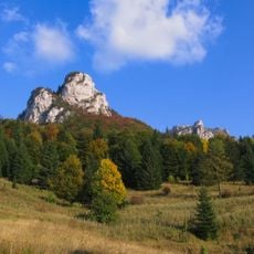
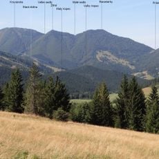
Poludňový grúň is a mountain summit in the Malá Fatra range that rises to approximately 1,446 meters (4,747 feet). Its steep slopes and exposed rock faces create a dramatic terrain typical of this Slovak mountain system.

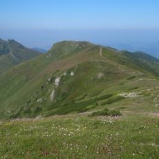
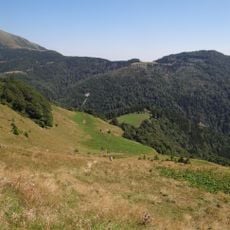
The mountain has served as a crossing route between valleys since the middle ages. These pathways connected different communities and were essential for regional trade and movement.

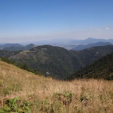
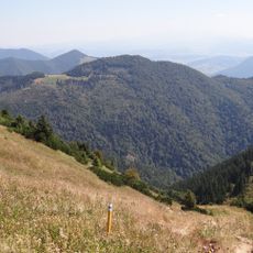
The mountain serves as a gathering place where visitors encounter traditional mountain farming practices throughout the seasons. The local huts reflect how communities have lived with these peaks for generations.

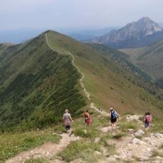
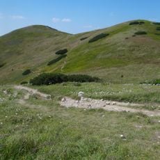
Hikers begin their ascent from Vrátna Valley following marked trails that take around 5 hours to reach the peak. Sturdy footwear is essential and weather conditions can change quickly, so bring layers and rain protection.

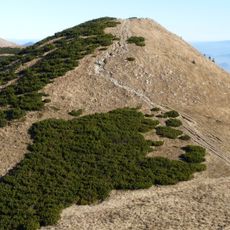
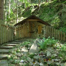
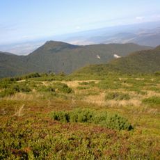
In winter, the mountain transforms into a skiing destination with natural conditions for winter sports. The mountain hut Chata na Grúni remains open year-round and becomes a gathering point for winter enthusiasts during the snowy season.

The community of curious travelers

AroundUs brings together thousands of curated places, local tips, and hidden gems, enriched daily by 60,000 contributors worldwide.

Start exploring
Location
Elevation above the sea
1,446.4 m
GPS coordinates
49.20983,19.06314
Latest update
December 14, 2025 13:07
« Poludňový grúň - Mountain summit in Žilina District, Slovakia » is provided by Around Us (aroundus.com). Images and texts are derived from Wikimedia project under a Creative Commons license. You are allowed to copy, distribute, and modify copies of this page, under the conditions set by the license, as long as this note is clearly visible.

Discover hidden gems everywhere you go!

From secret cafés to breathtaking viewpoints, skip the crowded tourist spots and find places that match your style. Our app makes it easy with voice search, smart filtering, route optimization, and insider tips from travelers worldwide. Download now for the complete mobile experience.

Around Us App Screenshot

A unique approach to discovering new places

Le Figaro

All the places worth exploring

France Info

A tailor-made excursion in just a few clicks

20 Minutes

Around Us
Travel Guide & Maps
Download

Send to your phone

QR Code
1

Open the camera app on your mobile.

2

Point at the QR code with your camera. A notification will appear.

3

Tap the notification to open the link.