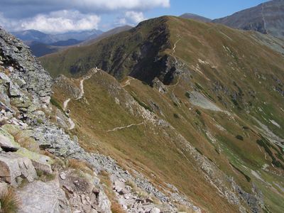
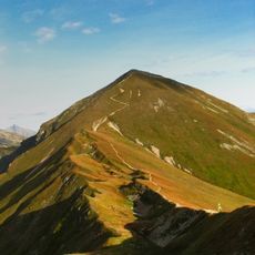
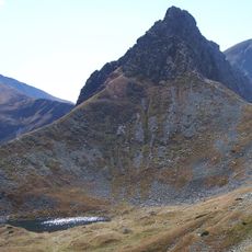
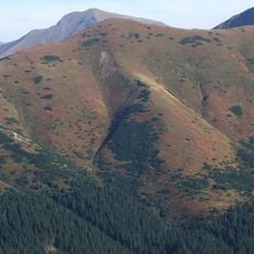
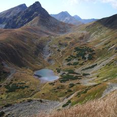
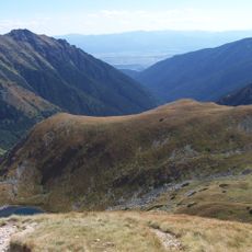
Hrubý vrch, Summit in Western Tatras, Slovakia.
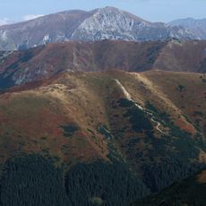
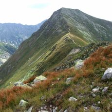
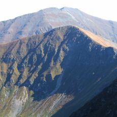
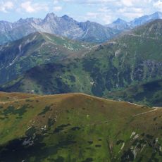
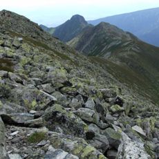
Hrubý vrch is a summit in the Otrhance mountain group of the Western Tatras, close to the Polish-Slovak border. The slopes are steep and the upper section is dominated by exposed granite rock shaped by wind and frost.
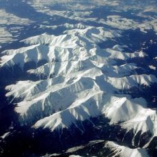
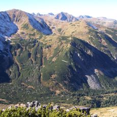
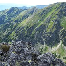
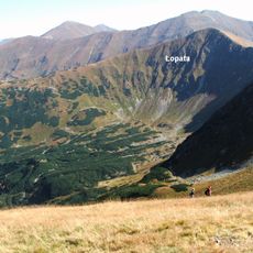
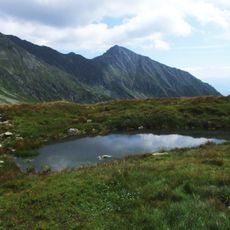
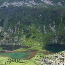
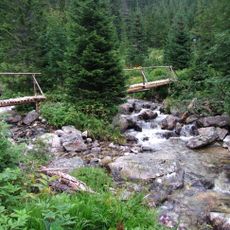
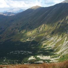
The Western Tatras were shaped during past ice ages by glaciers that carved deep valleys and left behind scattered mountain lakes. The bare granite visible on summits like this one was gradually uncovered as ice and erosion wore away softer layers over thousands of years.
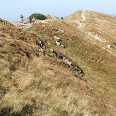
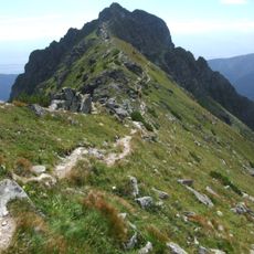
The name Hrubý vrch translates roughly as "rough peak" in Slovak, which reflects the rocky and uneven terrain at the top. Hikers from the region often use this summit as a reference point when navigating the Western Tatras on foot.
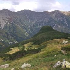
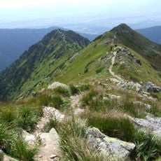
The summer months offer the safest conditions for reaching the top, as snow and ice can make the slopes dangerous in other seasons. Solid hiking boots and layers of clothing are worth bringing, since weather can shift quickly even on a clear morning.
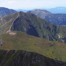
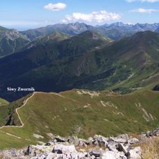
The Otrhance group, which includes this peak, takes its name from the Slovak word for "torn" ,
The community of curious travelers
AroundUs brings together thousands of curated places, local tips, and hidden gems, enriched daily by 60,000 contributors worldwide.