
M'Bour, city in Senegal
Location: M'bour Department
Elevation above the sea: 15 m
GPS coordinates: 14.41179,-16.96571
Latest update: May 27, 2025 14:05
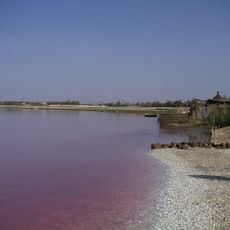
Lake Retba
55.7 km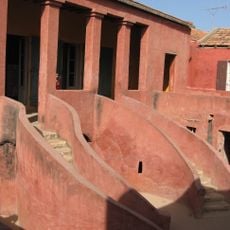
House of Slaves
54.5 km
Diamniadio Olympic Stadium
43.8 km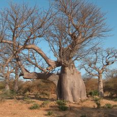
Bandia Nature Reserve
21.2 km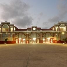
Dakar station
58.3 km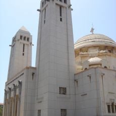
Our Lady of Victories Cathedral, Dakar
58.2 km
Keur Moussa abbey
44.2 km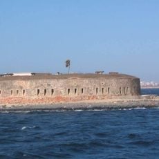
Historical Museum of Senegal
54.9 km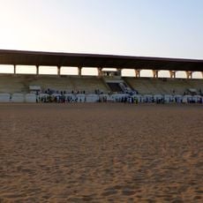
Stade Lat-Dior
39.9 km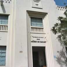
IFAN Museum of African Arts
58.1 km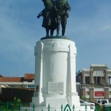
Monument Demba et Dupont
58.3 km
Circuit de Dakar Baobabs
21 km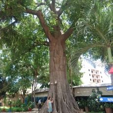
Institut français Sénégal
58.1 km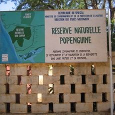
Réserve naturelle de Popenguine
20.1 km
Primature
57.8 km
Musée régional de Thiès
43 km
Church of Saint Charles Borromee (Goree)
54.6 km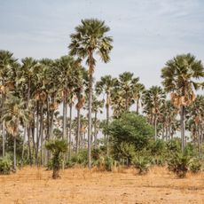
Samba Dia Biosphere Reserve
40.2 km
Musée de la Mer
54.8 km
Galleria nazionale di Dakar
57.6 km
Marché Kermel
57.6 km
Musée Régional de Thiès
42.9 km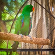
Parc exotique de Nguerigne
11.2 km
Village des Tortures
49.3 km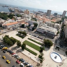
Place de indépendance
57.8 km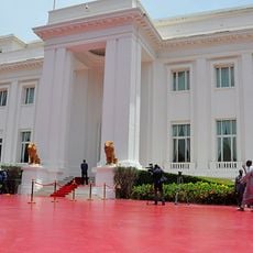
Palais du Président de la Republique du Senegal
57.6 km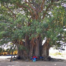
Baobab sacré de Fadial
33.4 km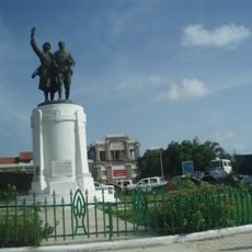
Place du Tirailleur Sénégalais
58.3 kmReviews
Visited this place? Tap the stars to rate it and share your experience / photos with the community! Try now! You can cancel it anytime.
Discover hidden gems everywhere you go!
From secret cafés to breathtaking viewpoints, skip the crowded tourist spots and find places that match your style. Our app makes it easy with voice search, smart filtering, route optimization, and insider tips from travelers worldwide. Download now for the complete mobile experience.

A unique approach to discovering new places❞
— Le Figaro
All the places worth exploring❞
— France Info
A tailor-made excursion in just a few clicks❞
— 20 Minutes