Tell Tamer Subdistrict, subdistrict in Al-Hasakah, Syria
Location: Al-Hasakah District
Location: Al-Hasakah Governorate
GPS coordinates: 36.58806,40.35944
Latest update: April 25, 2025 01:20
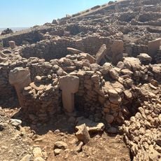
Karahan Tepe
109.6 km
Tell Brak
63 km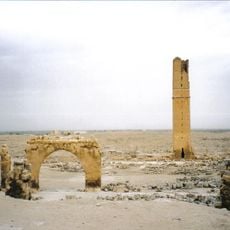
Haran
106.1 km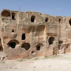
Dara
84.6 km
Urkesh
77.2 km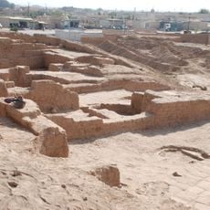
Tell Halaf
39 km
Mor Hananyo Monastery
88.1 km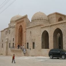
Kasımiye Medrese
86.3 km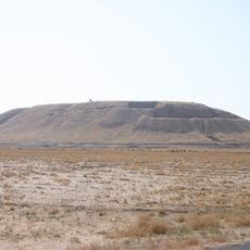
Tell Barri
70.6 km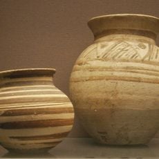
Chagar Bazar
57.7 km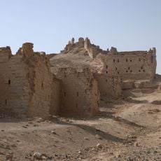
Halabiye
111.1 km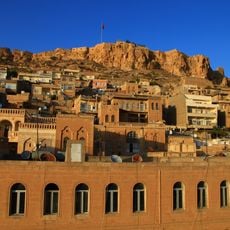
Mardin Castle
87.7 km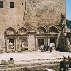
Saint Jacob of Nisibis church
93 km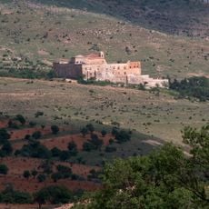
Mount Izla
109.7 km
Tell Arbid
67 km
Tell Taban
47.5 km
Tell el Fakhariya
38.3 km
Tek Tek Mountains National Park
100.2 km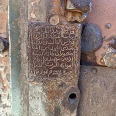
Kırklar Kilisesi
87.3 km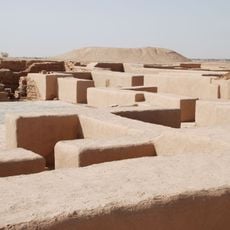
Dūr-Katlimmu
110.6 km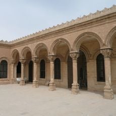
Mardin Museum
84.8 km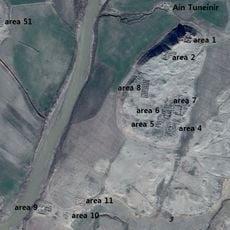
Tell Tuneinir
49 km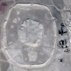
Tell Malhat ed-Deru
73.3 km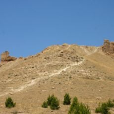
Qal'at Sukkara
12.5 km
Tell Mashnaqa
51.3 km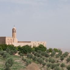
Burç Manastırı
86.7 km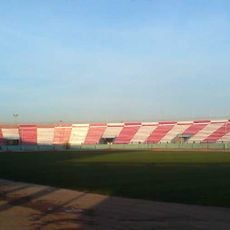
Al-Basil Stadium Al-Hasakah
35.4 km
Cathedral of Our Lady
34.9 kmReviews
Visited this place? Tap the stars to rate it and share your experience / photos with the community! Try now! You can cancel it anytime.
Discover hidden gems everywhere you go!
From secret cafés to breathtaking viewpoints, skip the crowded tourist spots and find places that match your style. Our app makes it easy with voice search, smart filtering, route optimization, and insider tips from travelers worldwide. Download now for the complete mobile experience.

A unique approach to discovering new places❞
— Le Figaro
All the places worth exploring❞
— France Info
A tailor-made excursion in just a few clicks❞
— 20 Minutes