
Barh Signaka, department of Chad
Location: Guéra Region
Elevation above the sea: 482 m
GPS coordinates: 11.06222,17.93333
Latest update: April 1, 2025 12:46
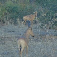
Zakouma National Park
188.9 km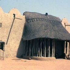
Lamidat de Rey-Bouba
490.5 km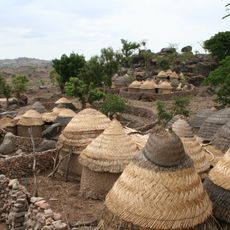
Sukur
478.1 km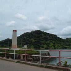
Lagdo Reservoir
510.7 km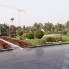
Pink Palace (Chad)
336.6 km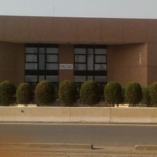
Chad National Museum
333.2 km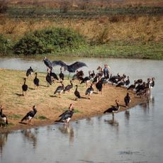
Manovo-Gounda St. Floris National Park
484.2 km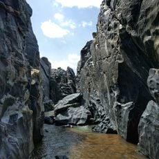
Gorges de Kola
455.3 km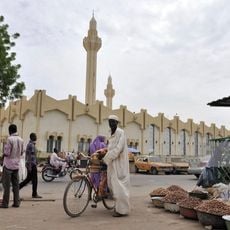
N'Djamena Grand Mosque
335.3 km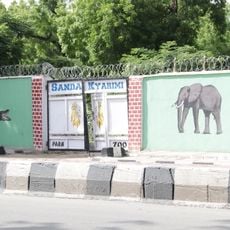
Sanda Kyarimi Park
529.2 km
Bidzar
439.3 km
Yao
203.2 km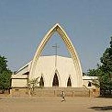
Cathedral of Our Lady, N'Djamena
336.7 km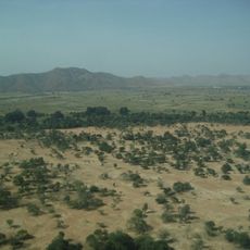
Goz Beïda National Park
390.6 km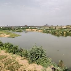
Bridge over Benoué
533.6 km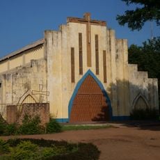
Sacred Heart Cathedral, Moundou
343.4 km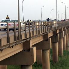
Bridge of Taiwan
328.5 km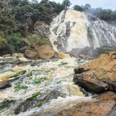
Chutes de Lancrenon
530.3 km
Plaine de Massenya
195 km
Gribingui Bamingui Faunal Reserve
386.6 km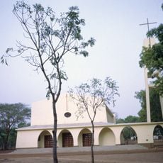
Cathedral of Sts. Peter and Paul, Pala
382.4 km
National Library of Chad
333.2 km
Barrage de Lagdo
515.8 km
Marché Central
335.2 km
The Gaoui Museum
328.1 km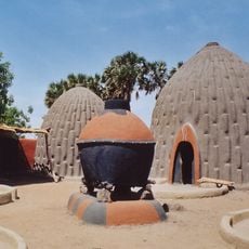
Cases obus de Mourla
312.1 km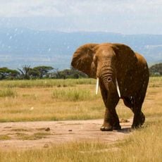
Manda National Park
181.9 km
Kalamaloué
353 kmReviews
Visited this place? Tap the stars to rate it and share your experience / photos with the community! Try now! You can cancel it anytime.
Discover hidden gems everywhere you go!
From secret cafés to breathtaking viewpoints, skip the crowded tourist spots and find places that match your style. Our app makes it easy with voice search, smart filtering, route optimization, and insider tips from travelers worldwide. Download now for the complete mobile experience.

A unique approach to discovering new places❞
— Le Figaro
All the places worth exploring❞
— France Info
A tailor-made excursion in just a few clicks❞
— 20 Minutes