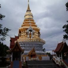
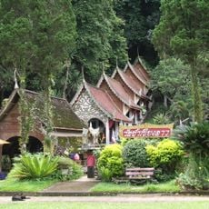
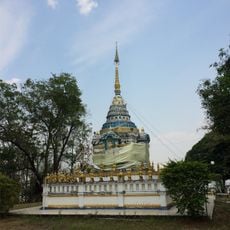
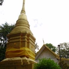
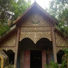
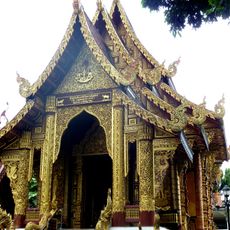
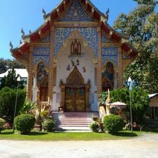
Phrao, Administrative district in Chiang Mai, Thailand
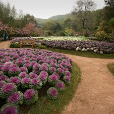
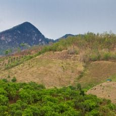
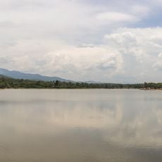
Phrao is an administrative district in northeastern Chiang Mai with rice fields, orchards, and hilly terrain. The area comprises multiple sub-districts and villages interspersed with agricultural land and surrounded by mountains.
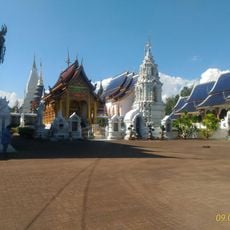
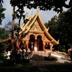
The district was founded in 1281 by King Mangrai, with his third son Khrua receiving governance over the territory. This establishment was part of the Lan Na kingdom's expansion in the region.
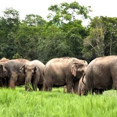
The district is shaped by farming families who have cultivated rice for generations, working their fields with the rhythms of the seasons. In the higher elevations, Lisu communities also live here, their own traditions and way of life contributing to the landscape and daily rhythm.
The district lies about 107 kilometers north of central Chiang Mai and is equipped with local markets and basic accommodations. Visitors should expect longer travel times and explore local conditions on the ground.
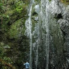
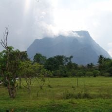
The area is marked by the distinctive Doi Chiang Dao mountain, which forms a natural boundary and dominates the landscape. The surrounding mountains of the Sri Lanna National Park region create a striking natural backdrop for the rice fields below.
The community of curious travelers
AroundUs brings together thousands of curated places, local tips, and hidden gems, enriched daily by 60,000 contributors worldwide.