San Sai, Administrative district in Chiang Mai, Thailand.
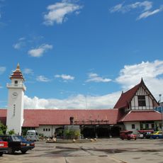
San Sai is an administrative district in Chiang Mai covering twelve sub-districts with 116 villages across its territory. The area sits at about 395 meters elevation and is crossed by various roads, with two main towns serving as commerce hubs.
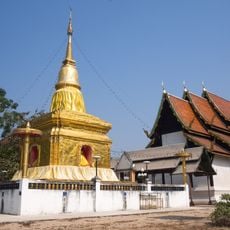
The district was established as an administrative area in 1897, named after sand dunes formed by river deposits. This naming reflected the geographical features created by the Ping and Khao rivers over time.
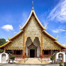
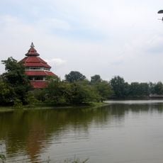
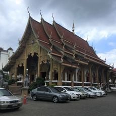
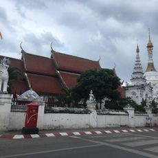
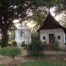
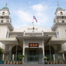
Residents here practice Northern Thai traditions through regular temple ceremonies and local handicraft production that define community life. These customs shape how the district looks and feels throughout the year.
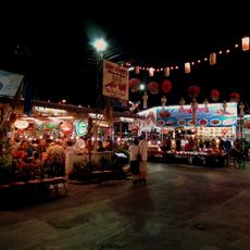
Monsoon rains can significantly change river conditions here, so timing your visit requires some planning. Local roads connect the various areas, but having your own transport helps you explore the villages and markets at your own pace.
Natural sand formations appear where two rivers meet, shifting with the seasons as water flow changes. During monsoon season these movements become especially noticeable, temporarily reshaping the landscape.
The community of curious travelers
AroundUs brings together thousands of curated places, local tips, and hidden gems, enriched daily by 60,000 contributors worldwide.