Bangkok Noi, Administrative division in Bangkok, Thailand
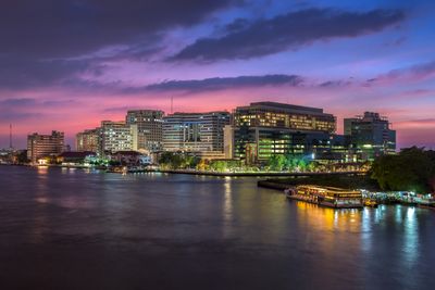
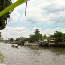
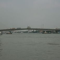
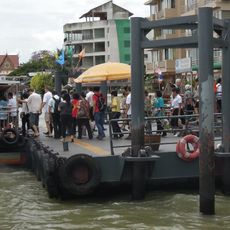
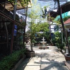
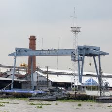
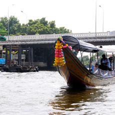
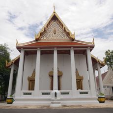
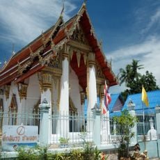
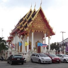
Bangkok Noi is an administrative district covering 11.944 square kilometers on the Thon Buri side of the Chao Phraya River, divided into five sub-districts: Siri Rat, Ban Chang Lo, Bang Khun Non, Bang Khun Si, and Arun Amarin. The area mixes dense residential neighborhoods, local markets, and waterfront zones where traditional river transport remains active alongside modern roads.
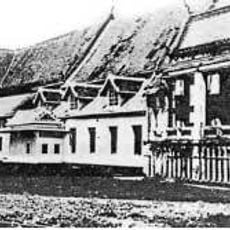
The district emerged as Amphoe Ammarin in 1915 before becoming a khet in 1972 following the administrative merger of Thon Buri and Bangkok. This restructuring marked a shift in how the city organized its growing eastern and western sides into a unified metropolitan system.
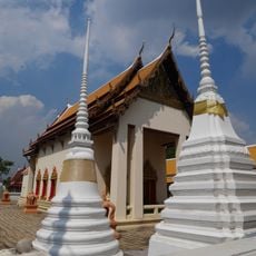
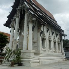
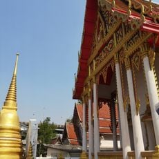
The district emblem features the head of the royal barge Sri Suphunahongsa, symbolizing the area's deep connection to traditional Thai royal traditions and ceremonies that continue to shape local identity. Local residents take pride in this heritage, which remains visible in how the community honors these customs.
Major roads like Charan Sanit Wong Road and Borommaratchachonnani Road connect the district, while multiple piers along the Chao Phraya provide water transport options. Navigation is easiest by combining street routes with river travel, especially during peak traffic hours when roads become congested.
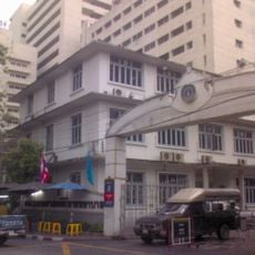
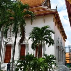
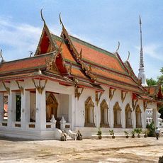
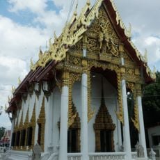
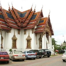
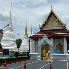
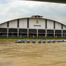
The National Museum of Royal Barges houses the ornate ceremonial boats used in royal processions, which are rarely on public display anywhere else in the world. Siriraj Hospital, one of Asia's oldest medical institutions founded in the late 1800s, stands as a physical reminder of how modern medicine first arrived in Thailand.
The community of curious travelers
AroundUs brings together thousands of curated places, local tips, and hidden gems, enriched daily by 60,000 contributors worldwide.