
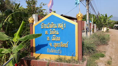
Wang Din, subdistrict in Mueang Uttaradit district, Uttaradit province, Thailand
Location: Mueang Uttaradit
Inception: August 1, 1962
GPS coordinates: 17.72573,100.25971
Latest update: March 17, 2025 08:04
Wat Phra That Cho Hae
40.6 km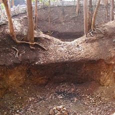
Nam Phi iron mine
21 km
Wat Phra Thaen Sila At
26.9 km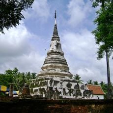
Wat Phra Fang Sawang Khaburimuninat
10.3 km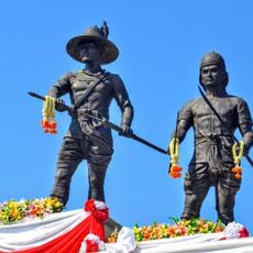
Statues of King Taksin and Phraya Phichai Dap Hak in Wat Khung Taphao
15 km
Wat Khung Taphao
15 km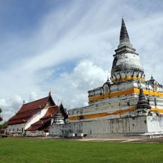
Wat Phra Borom That Thung Yang
25.8 km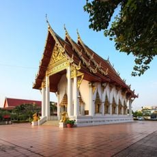
Wat Tha Thanon
20.7 km
Lam Nam Nan National Park
48.5 km
Wat Phra That Suthon Mongkhon Khiri Samakkhi Tham
38 km
Wat Phra That Doi Leng
38.8 km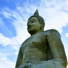
Phra Sambuddha Muni Siri-Uttaradit Mahapatimakara
15.1 km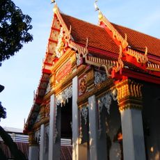
Wat Khlong Pho
21.3 km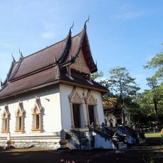
Wat Yai Tha Sao
17.2 km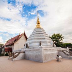
Wat Luang
48.4 km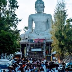
Provincial Phutthamonthon Park of Uttaradit
15.1 km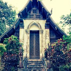
Wat Don Sak
25.4 km
Ban Khung Taphao Park
14.3 km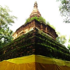
Wat Phra That Chom Chaeng
39.7 km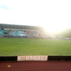
Uttaradit Province Stadium
20.5 km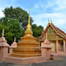
Wat Wang Mu
24.3 km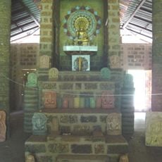
Ban Nong Bua monastic residence
9.4 km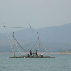
Sirikit Reservoir
28.6 km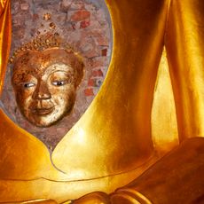
Wat Ban Kaeng Tai
34.7 km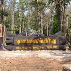
Ton Sak Yai forest park
33.6 km
Wat Aran Yikaram
20.9 km
Wat Phak Rak
25 km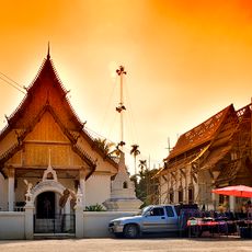
Wat Thong Laplae
25.3 kmReviews
Visited this place? Tap the stars to rate it and share your experience / photos with the community! Try now! You can cancel it anytime.
Discover hidden gems everywhere you go!
From secret cafés to breathtaking viewpoints, skip the crowded tourist spots and find places that match your style. Our app makes it easy with voice search, smart filtering, route optimization, and insider tips from travelers worldwide. Download now for the complete mobile experience.

A unique approach to discovering new places❞
— Le Figaro
All the places worth exploring❞
— France Info
A tailor-made excursion in just a few clicks❞
— 20 Minutes