
Na Tae, subdistrict in Mueang Amnat Charoen district, Amnat Charoen province, Thailand
Location: Mueang Amnat Charoen
GPS coordinates: 16.14587,104.92622
Latest update: March 30, 2025 17:55

Wat Phra That Phanom
91.3 km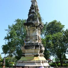
That Kong Khao Noi
87.9 km
Second Thai–Lao Friendship Bridge
54.6 km
Phra Maha Chedi Chai Mongkhon
67.9 km
That Ing Hang
52.2 km
Wat Maha Wanaram
101.6 km
Wat Si Ubon Rattanaram
102.4 km
Wat Phra That Renu
103.9 km
Wat Phra That Nong Bua
98.7 km
Wat Mahathat
92.6 km
Wat Tai Phra Chao Yai Ong Tue
102.5 km
Phu Pha Thoep National Park
37.3 km
Wat Thung Si Mueang
102.2 km
Our Lady of the Martyrs of Thailand Shrine
72.9 km
Phu Sa Dok Bua National Park
14.9 km
Tung Burapha Stadium
94.9 km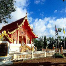
Wat Phra Lao Thep Nimit
52.8 km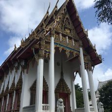
Wat Mani Wanaram
102 km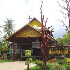
St Michael's Church, Songyae
59 km
Wat Phra Phutthabat Yasothon
99.4 km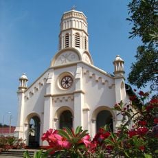
Co-Cathedral of St. Therese, Savannakhet
49.5 km
Wat Thung Sawang Chaiyaphum
91.8 km
Wat Phra Si Maha Pho
65.7 km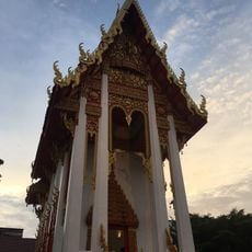
Wat Luang
102.8 km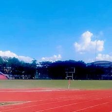
Ubon Rachathani Sports School Stadium
99.9 km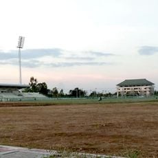
Amnat Charoen Province Stadium
43.7 km
Wat Si Nuan Sawang Arom
100.1 km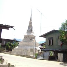
Wat Sing Tha
92.7 kmReviews
Visited this place? Tap the stars to rate it and share your experience / photos with the community! Try now! You can cancel it anytime.
Discover hidden gems everywhere you go!
From secret cafés to breathtaking viewpoints, skip the crowded tourist spots and find places that match your style. Our app makes it easy with voice search, smart filtering, route optimization, and insider tips from travelers worldwide. Download now for the complete mobile experience.

A unique approach to discovering new places❞
— Le Figaro
All the places worth exploring❞
— France Info
A tailor-made excursion in just a few clicks❞
— 20 Minutes