
Nam Tok Sao Hai, Wasserfall in Thailand
Location: Sakon Nakhon
Elevation above the sea: 347 m
GPS coordinates: 17.12333,104.01389
Latest update: August 5, 2025 23:52
Ban Chiang
87.8 km
Wat Phra That Phanom
78.2 km
Wat Phra That Choeng Chum
15.5 km
Phra Maha Chedi Chai Mongkhon
93.9 km
Third Thai–Lao Friendship Bridge
86.3 km
Phu Phan National Park
8.1 km
Thep Suda Bridge
75.2 km
Wat Phra That Narai Cheng Weng
11.2 km
Sirindhorn Museum
70.8 km
Phra That Phu Pek
11.2 km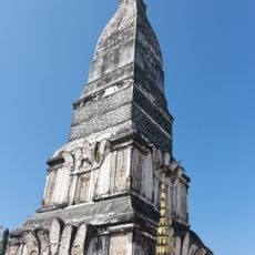
Wat Phra That Tha Uthen
80.4 km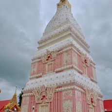
Wat Phra That Renu
71 km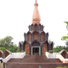
Wat Pa Udom Somphon
30.7 km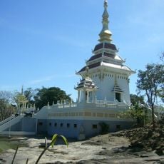
Wat Tham Kham
15.8 km
Our Lady of the Martyrs of Thailand Shrine
86.3 km
Phu Pha Yon National Park
16.7 km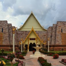
Wat Aranyawiwake
59.2 km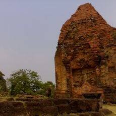
Wat Phra That Dum
16.1 km
Wat Phra That Prasit
41.2 km
Wat Mahathat
87.9 km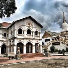
Wat Phra Si Maha Pho
91.2 km
Wat Si That Phra Mancha
89.8 km
Kalasin Town municipality Stadium
94.6 km
Wat Phuttha Nimit
80.5 km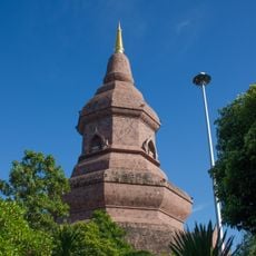
Wat Phuttha Nimit
64.8 km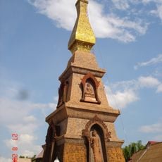
Wat That Si Mongkhon
42 km
Cathedral of St Louis in Thakhek
89.7 km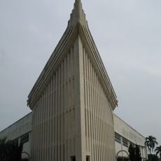
Saint Michael the Archangel Cathedral, Tha Rae
13.3 kmReviews
Visited this place? Tap the stars to rate it and share your experience / photos with the community! Try now! You can cancel it anytime.
Discover hidden gems everywhere you go!
From secret cafés to breathtaking viewpoints, skip the crowded tourist spots and find places that match your style. Our app makes it easy with voice search, smart filtering, route optimization, and insider tips from travelers worldwide. Download now for the complete mobile experience.

A unique approach to discovering new places❞
— Le Figaro
All the places worth exploring❞
— France Info
A tailor-made excursion in just a few clicks❞
— 20 Minutes