Balkan Region, Administrative region in western Turkmenistan
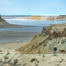
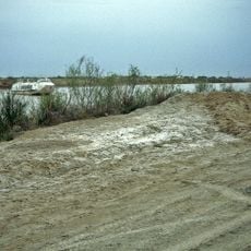
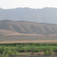
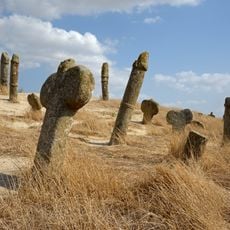
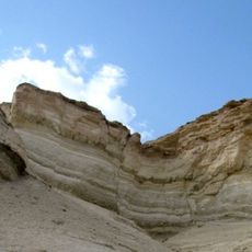
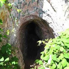
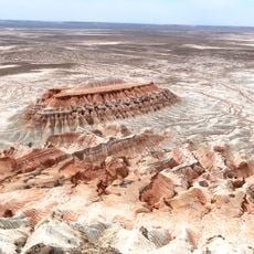
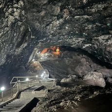
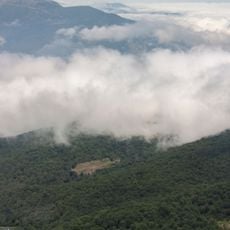
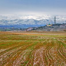
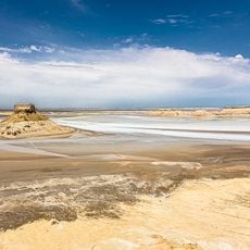
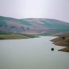
The Balkan Region is an administrative area in western Turkmenistan stretching along the Caspian Sea, featuring mountains, deserts, and coastal zones within its landscape. The territory combines these different landforms to create varied natural conditions throughout the area.
The area was known as Krasnovodsk Oblast during Soviet times and received its current name and administrative structure in 1991 following Turkmenistan's independence. This renaming marked the transition to a new political system and independent national identity.
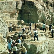
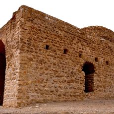
The region is home to communities living in both urban and rural settings, maintaining traditional connections to the land through crafts and pastoral activities. These ways of life shape how people relate to the landscape and each other.
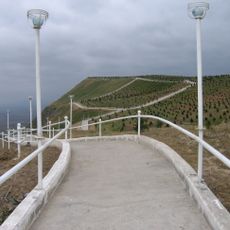
The area is connected by various transportation networks, including the M37 highway and the Trans-Caspian Railway, linking major cities together. The Turkmenbashy port provides additional access to the sea and makes travel through the region easier.
The area is a major energy producer and hosts important resource industries that are central to the national economy. This importance is reflected in the infrastructure visible throughout the territory.
The community of curious travelers
AroundUs brings together thousands of curated places, local tips, and hidden gems, enriched daily by 60,000 contributors worldwide.