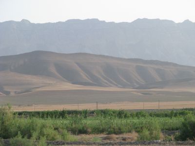
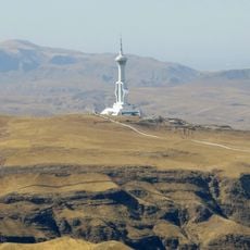
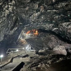
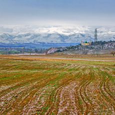
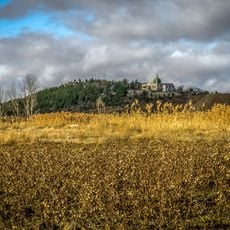
Köpet Dag, Mountain range between Turkmenistan and Iran.
Köpet Dag is a mountain range stretching more than 600 kilometers along the border between Turkmenistan and Iran. The chain features rocky slopes and varied plant life at different elevations, creating distinct ecological zones from foothills to higher peaks.
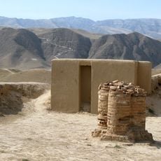
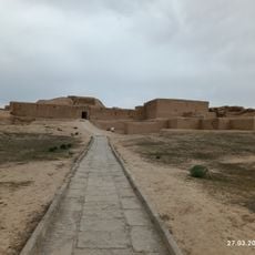
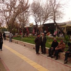
People have inhabited this region since prehistoric times, with archaeological remains found along the northern slopes revealing ancient settlements. These early communities established themselves in the fertile valley areas and shaped the cultural landscape over millennia.
The valley communities here follow ways of life passed down through generations, with farming and herding woven into daily routines. You can observe traditional settlements scattered across the slopes, where families maintain connections to the land.
Hiking here requires reasonable fitness, as trails can be steep and weather at higher elevations changes quickly. Bring sturdy shoes, plenty of water, and weatherproof clothing, and plan your visit during warmer months for the best conditions.
The range shelters rare animals found nowhere else, including wild cats and mountain sheep adapted to arid conditions. These species have evolved specialized behaviors and features to survive in this harsh landscape.
The community of curious travelers
AroundUs brings together thousands of curated places, local tips, and hidden gems, enriched daily by 60,000 contributors worldwide.