Medjerda River, Major river system between northeastern Algeria and Tunisia.
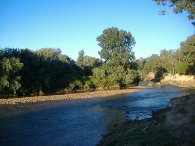
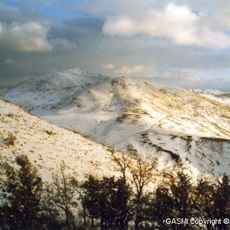
The Medjerda is a river that flows roughly 450 kilometers from the Tell Atlas Mountains through Tunisia, winding through numerous valleys. Along its course, fertile land emerges where farming thrives and multiple dams control the water flow.
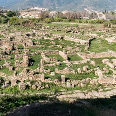
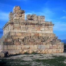
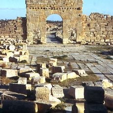
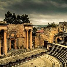
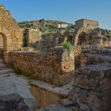
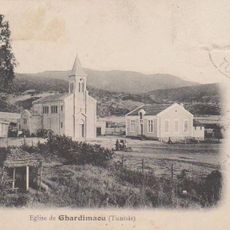
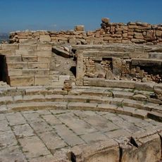
In ancient times, the river was called Bagradas and supplied water to early settlements like Utica and Carthage. The Romans recognized its strategic importance for farming and regional control.
Generations of farmers have developed traditional irrigation methods along the Medjerda River, passing down agricultural knowledge through family networks.
The best time to visit is during the rainy season when the river is fullest and surrounding fields are in full growth. Access is mainly from roads that cross the river at several points and offer different viewing spots.
After severe floods in the 1970s, the river altered its natural path significantly. Today it flows through a channel that was originally built as an emergency flood control measure and permanently reshaped the landscape.
The community of curious travelers
AroundUs brings together thousands of curated places, local tips, and hidden gems, enriched daily by 60,000 contributors worldwide.