
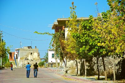
Acıgöl, district of Nevşehir, Turkey
Location: Nevşehir Province
Elevation above the sea: 1,256 m
GPS coordinates: 38.55028,34.50917
Latest update: March 21, 2025 17:02
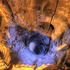
Derinkuyu underground city
27.8 km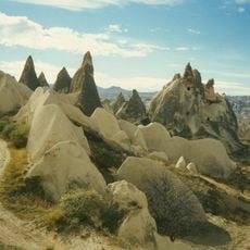
Göreme National Park
32.8 km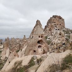
Uçhisar Castle
27 km
Nevşehir Castle
19.3 km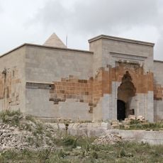
Alayhan
13.9 km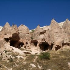
Zelve Monastery
33.6 km
Ersele Underground City
29.2 km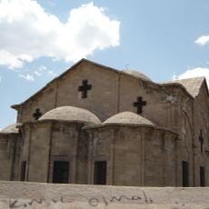
Saint Theodore Church
27.9 km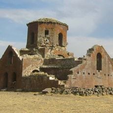
Kızıl Kilise
33.1 km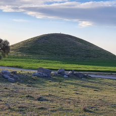
Mound Ersele
29.4 km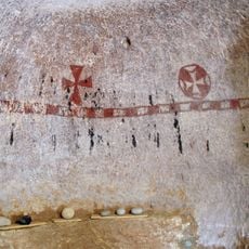
St. John (Gülşehir)
23.8 km
Dark Church
30 km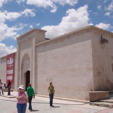
Öresun Han
28.1 km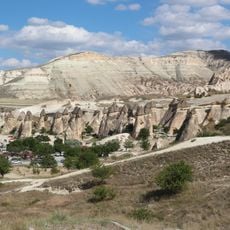
Fairy chimneys in Cappadoce
33 km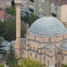
Kurşunlu Mosque
19.6 km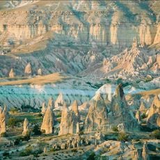
Göreme National Park and the Rock Sites of Cappadocia
32.4 km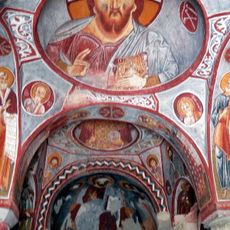
Elmalı Church
30.9 km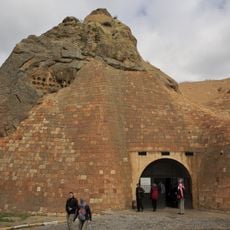
Tokalı Church
30.9 km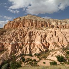
Aktepe
32.9 km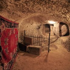
Underground City of Çardak
22.5 km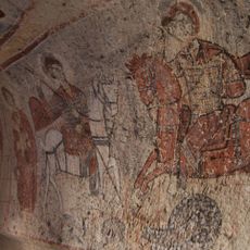
Yilanli Church
30.8 km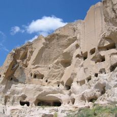
Tatlarin Underground City
9.6 km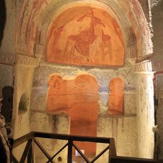
Azize Catherine Şapeli
30.9 km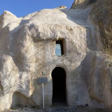
Basil Şapeli
30.9 km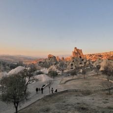
Göreme Open Air Museum
30.9 km
Church of Saint Barbara
30.9 km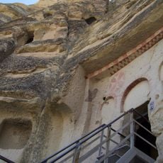
Çarıklı Kilise
31 km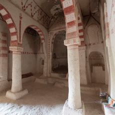
Aynalı Kilise
31.4 kmReviews
Visited this place? Tap the stars to rate it and share your experience / photos with the community! Try now! You can cancel it anytime.
Discover hidden gems everywhere you go!
From secret cafés to breathtaking viewpoints, skip the crowded tourist spots and find places that match your style. Our app makes it easy with voice search, smart filtering, route optimization, and insider tips from travelers worldwide. Download now for the complete mobile experience.

A unique approach to discovering new places❞
— Le Figaro
All the places worth exploring❞
— France Info
A tailor-made excursion in just a few clicks❞
— 20 Minutes