Mount Ararat, Mountain peak in Ağrı Province, Turkey
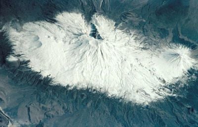
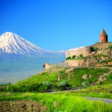
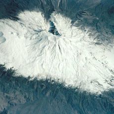
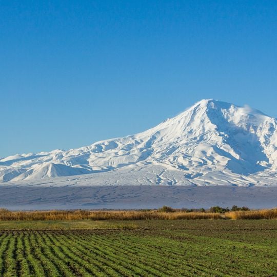
Mount Ararat, officially Mount Ağrı, is a dormant stratovolcano in easternmost Turkey, in Ağrı Province near the Iranian, Armenian and Nakhchivan borders. It consists of two cones joined at the base: Greater Ararat at 5,137 m and Little Ararat at 3,896 m, 11 km apart and separated by the Sardar Bulak saddle. The slopes are barren, built of weathered Cenozoic basalt lava flows, with snow and ice lying in patches over dark rock near the jagged summit ridge.
Professor Friedrich Parrot reached the summit for the first time in 1829 when the region was under Russian administration. Later expeditions by European climbers shaped the opening of the mountain and gradually changed its status from a local legend to an internationally recognized climbing destination.
Armenians call the peak Masis, a name traced to the classical Armenian Masik', and regard it as their principal national symbol, depicted on the coat of arms with Noah's Ark. Persian tradition calls it Kuh-e Nuh, the mountain of Noah, while the Turkish name Ağrı Dağı means "mountain of pain."
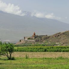
The mountain lies in Iğdır Province on the right bank of the middle Aras, 16 km from the Iranian border and 32 km from the Armenian border. The two cones stand 11 km apart, separated by the Sardar Bulak saddle, and the massif measures about 35 km across at its base. The summit is visible from Yerevan on clear days.
Mount Ararat forms a near-quadripoint where Turkey, Iran, Armenia and Azerbaijan's Nakhchivan exclave meet; the Iran-Turkey boundary runs east of Little Ararat. The massif is about 35 km wide at its base, and the two cones stand 11 km apart, separated by the Sardar Bulak saddle.
The community of curious travelers
AroundUs brings together thousands of curated places, local tips, and hidden gems, enriched daily by 92,147 contributors worldwide.