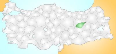
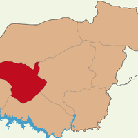
Tunceli Province, Administrative division in Eastern Anatolia Region, Turkey
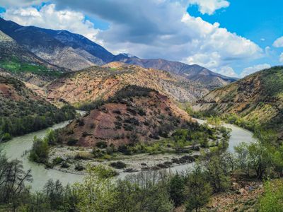
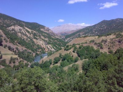
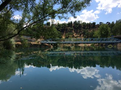
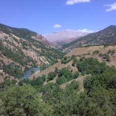
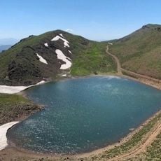
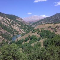
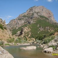
Tunceli Province is an administrative division in the Eastern Anatolia Region covering mountainous territory with dense forests and numerous deep valleys. High plateaus alternate with narrow river courses and shape a landscape where settlements often lie scattered and difficult to reach.
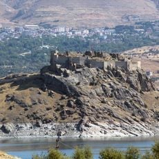
This region carried the name Dersim until 1935 and had already belonged to the Ottoman Empire since the 16th century after hosting earlier civilizations. The official renaming marked a turning point in administration that also brought later conflicts and restructuring.
The name Dersim remains widely used locally and reflects a regional identity that differs from the official designation introduced decades ago. Traditional village life continues in narrow valleys where communities maintain customs shaped by isolation and mountain terrain.
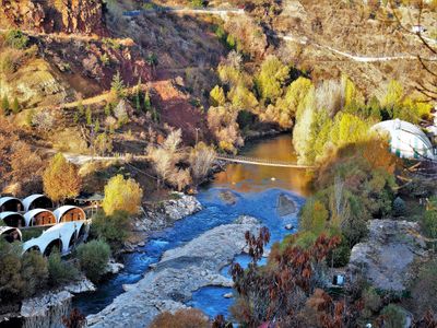
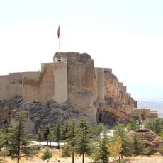
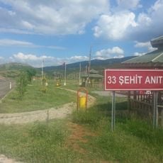
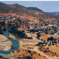
The city of Tunceli serves as a base for visits to the surrounding area and offers basic services such as accommodation and food. Because of the mountainous topography, journeys between localities often take longer than expected and require weatherproof clothing.
The Munzur Valley National Park contains numerous springs fed by mountain runoff that create habitats for ibex and eagles. Many of these springs are considered sacred and attract people who value their purity and maintain traditional beliefs.
The community of curious travelers
AroundUs brings together thousands of curated places, local tips, and hidden gems, enriched daily by 60,000 contributors worldwide.