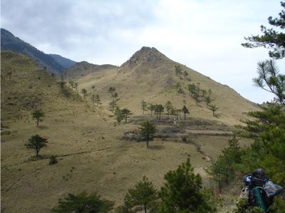
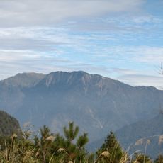
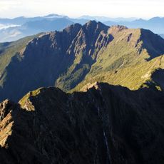
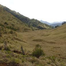
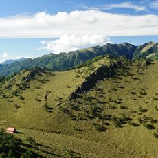
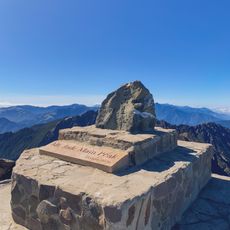
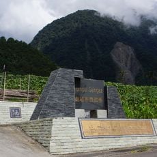
Batongguan, Mountain pass at 2800 meters in Dongpu Village, Taiwan
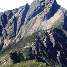
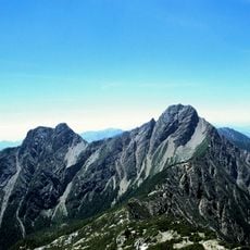
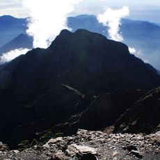
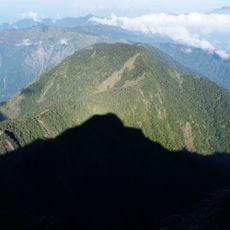
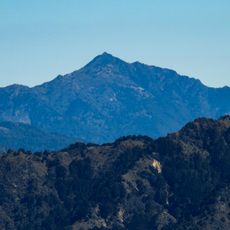
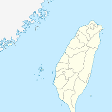
Batongguan is a mountain pass at 2800 meters elevation that forms part of a 96-kilometer trail system crossing the Central Mountain Range. This network connects Nantou County and Hualien through steep terrain and mountainous transitions.
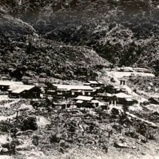
The trail system was completed in 1921 during Japanese colonial rule as a strategy to maintain control over indigenous populations. This project fundamentally shaped the connections linking eastern and western Taiwan across the mountains.
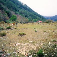
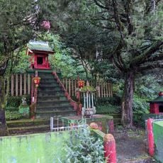
The Bunun people call the surrounding plains BaBahrasno, a name referring to the river flowing through this mountainous region. This pass remains embedded in the local community's knowledge of their ancestral lands.
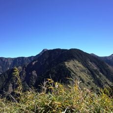
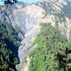
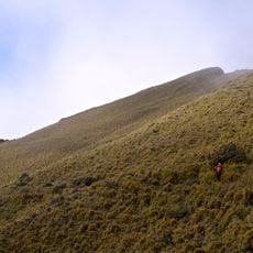
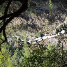
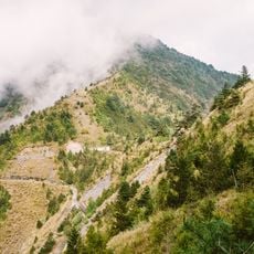
The western section starting from Dongpu remains in better condition for hiking, while the eastern section beyond Dashuiku frequently experiences typhoon damage. Check current trail conditions before your visit and be prepared for weather-related changes at high elevation.
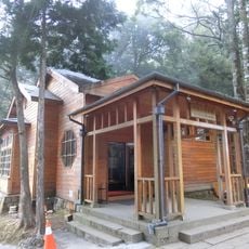
Stone foundations, slate patterns, and former police stations along the trail reveal Japanese construction techniques from the early 20th century. These physical remains tell the story of how this mountain route was built with remarkable engineering effort.
The community of curious travelers
AroundUs brings together thousands of curated places, local tips, and hidden gems, enriched daily by 60,000 contributors worldwide.