Zhovti Vody, Industrial mining city in Dnipropetrovsk Oblast, Ukraine.
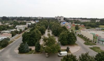
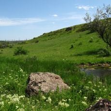
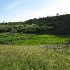
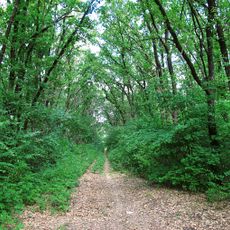
Zhovti Vody is a mining city in Dnipropetrovsk Oblast that stretches along the Zhovta River. The area sits at roughly 150 meters in elevation and houses a major mining and processing plant that primarily extracts iron ore today.
The city was founded in 1895 as a mining settlement and began with iron ore extraction. In the mid-20th century, it shifted focus to uranium mining before the industry later turned back to other minerals.
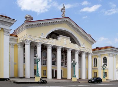
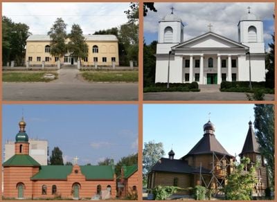
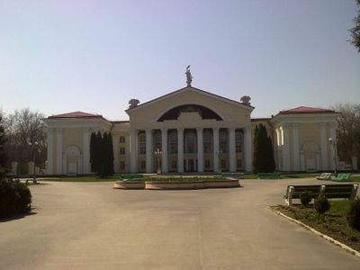
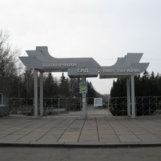
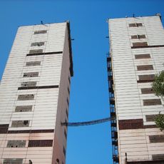
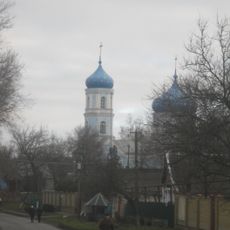
The town center reflects the everyday life of a working community with modest residential buildings and public spaces where locals gather. Local sports teams, particularly in football and bandy, shape community life and create meeting points for residents.
The town is best visited during daytime when the city operates at its normal pace. Visitors should know that mining areas and industrial facilities are not freely accessible and can only be viewed from outside.
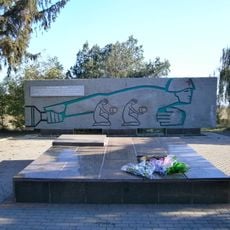
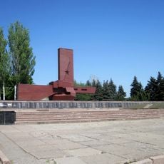
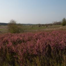
The city grew around one of Europe's largest uranium mines, which served as a source for Soviet nuclear power and weapons. Today, parts of the city and surrounding area still show traces of this intensive industrial past.
Location: Dnipropetrovsk Oblast
Location: Kamianske Raion
Inception: 1895
Elevation above the sea: 149 m
Shares border with: Kyiv
Website: http://zhv.gov.ua
GPS coordinates: 48.35000,33.51667
Latest update: December 14, 2025 20:30
Botanical garden in Kryvyi Rih
22.7 kmDamanskyi
23.4 km
Veseli Terny
27.8 km
Landscape Reserve Chervona Balka Pivnichna
27.3 km
Tomb of Baba Memorial
28.5 km
Шахта «Козацька»
32.5 kmMakorty Reservoir
25.2 kmМирівське
30.7 km
Церковь Святого Николая
35 km
In The Firing Line memorial, Kryvyi Rih
32.1 km
Landscape Reserve Inhuletskyi Step
24.6 km
Nature conservation area Balka Pivnichna Chervona
27.3 km
They Shall Not Pass memorial in Kryvyi Rih
27.7 km
Ehrenpark
1.1 km
Komisarivskyi Reserve
36.2 km
Reiterstandbild der Helden des Befreiungskrieges des ukrainischen Volkes
1.3 km
Hrushuvatskyi Reserve
24.8 kmВласівська балка
20.6 km
Zhytlova balka botanical reserve
37 kmРуїни "Червоний міст"
27.9 kmKochubey Adits
10.7 kmМіст Харіна
30 kmI ❤ Piatykhatky
15.3 kmЕкспозиція сільськогосподарської техніки під відкритим небом
18.8 kmТунель під гілками
23.7 kmМаєток Бродських
29.7 kmСонячний годинник
23.5 kmScenic viewpoint
912 mVisited this place? Tap the stars to rate it and share your experience / photos with the community! Try now! You can cancel it anytime.
Discover hidden gems everywhere you go!
From secret cafés to breathtaking viewpoints, skip the crowded tourist spots and find places that match your style. Our app makes it easy with voice search, smart filtering, route optimization, and insider tips from travelers worldwide. Download now for the complete mobile experience.
A unique approach to discovering new places❞
— Le Figaro
All the places worth exploring❞
— France Info
A tailor-made excursion in just a few clicks❞
— 20 Minutes