
Ottynia, human settlement
Location: Kolomyia Raion
Location: Kolomyia Raion
Elevation above the sea: 284 m
GPS coordinates: 48.73389,24.85694
Latest update: April 16, 2025 14:51
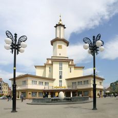
Ratusha
23.6 km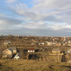
Lanchyn
22.1 km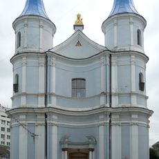
Armenian church, Ivano-Frankivsk
23.6 km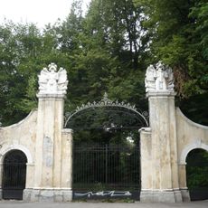
Potocki palace, Ivano-Frankivsk
23.4 km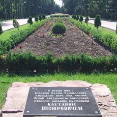
Taras Shevchenko Arboretum, Ivano-Frankivsk
23.1 km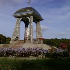
Pohonia Dormition monastery
16.7 km
Івана-Франкоўскі краязнаўчы музей
23.6 km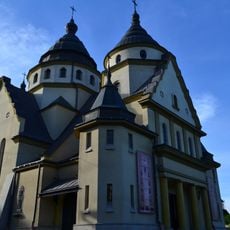
Christ the King church
22.3 km
Former Roman Catholic cemetery in Ivano-Frankivsk
22.8 km
Kniazhdvirskyi Reserve
18.8 km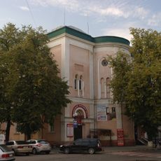
Tempel Synagogue in Ivano-Frankivsk
23.5 km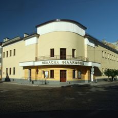
Ivano-Frankivsk Philharmonic
23.4 km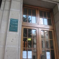
22 Chornovola Street, Ivano-Frankivsk
23.2 km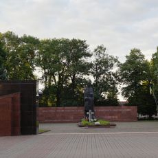
Soviet military memorial cemetery in Ivano-Frankivsk
23.2 km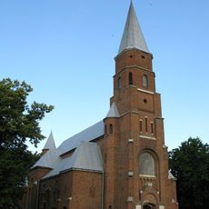
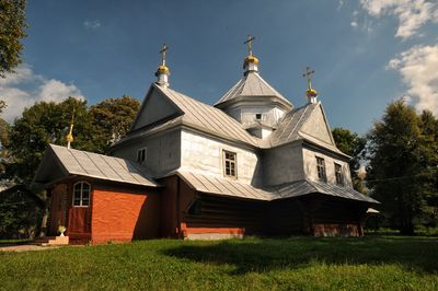
Church of Assumption of Mary in Otynia
382 m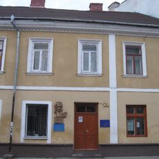
Івано-Франківський історико-меморіальний музей Олекси Довбуша
23.6 km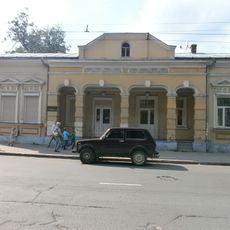
Літературний музей Прикарпаття
23.1 km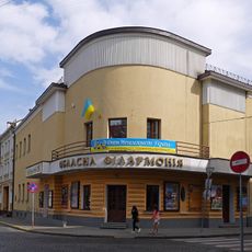
Stanislaw Moniuszko Theatre Building
23.4 km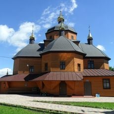
Church of the Nativity of the Theotokos, Tysmenytsia
19.2 km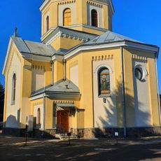
St. Paraskevi Church in Ivano-Frankivsk
20.1 km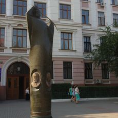
Monument to Western Ukrainian People's Republic in Ivano-Frankivsk
23.6 km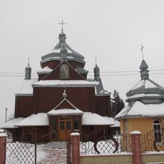
Church of the Annunciation, Chukalivka
19.5 km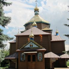
Saint Paraskeva church, Khryplyn
18.8 km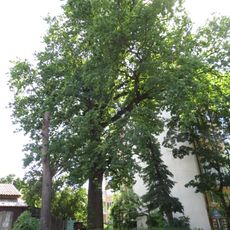
Quercus robur, Mateiky, Ivano-Frankivsk
22.5 km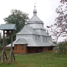
Saint John the Baptist church in Nazavyziv
20.7 km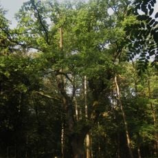
Tlumachsky Park
18 km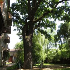
Quercus robur, Hnatiuka, Ivano-Frankivsk
23.3 km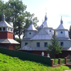
Церква Воскресіння Христового
16.5 kmReviews
Visited this place? Tap the stars to rate it and share your experience / photos with the community! Try now! You can cancel it anytime.
Discover hidden gems everywhere you go!
From secret cafés to breathtaking viewpoints, skip the crowded tourist spots and find places that match your style. Our app makes it easy with voice search, smart filtering, route optimization, and insider tips from travelers worldwide. Download now for the complete mobile experience.

A unique approach to discovering new places❞
— Le Figaro
All the places worth exploring❞
— France Info
A tailor-made excursion in just a few clicks❞
— 20 Minutes