
Tatariv, village in Yaremche, Ivano-Frankivsk Oblast, Ukraine
Location: Yaremche
Inception: 1671
Elevation above the sea: 750 m
GPS coordinates: 48.34361,24.57778
Latest update: April 23, 2025 08:48
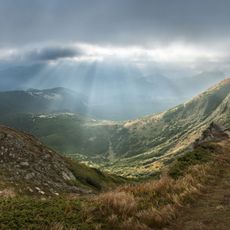
Carpathian National Nature Park
4.9 km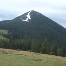
Mount Khomiak
6.6 km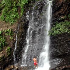
Zhenetskyi Huk
7.8 km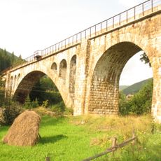
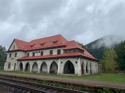
Vorokhta Viaduct
7 km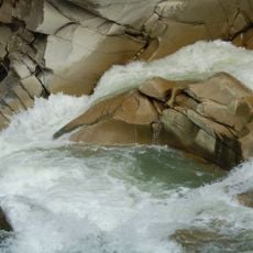
Probiy
11 km
Makovytsa
12 km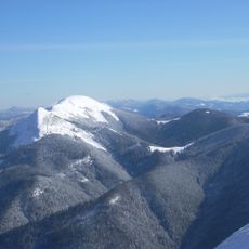
Syniak
10.2 km
Divochi Slozy
12.1 km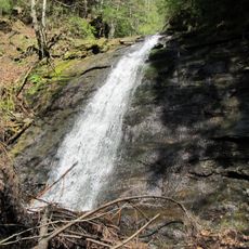
Narinetskyi Waterfall
6.1 km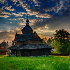
Church of the Nativity of the Virgin Mary in Vorokhta
6.9 km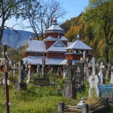
Yamna
10.4 km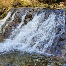
Bogdan Waterfall
7.7 km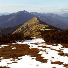
Malyi Gorgan
12.3 km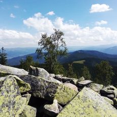
Явірник—Горган
9.3 km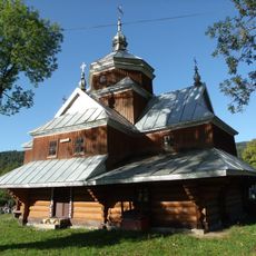
Saint John the Almoner church in Yaremche
9.7 km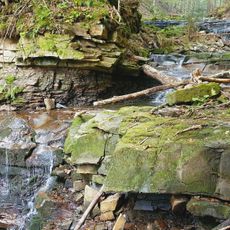
Bahrovets Waterfall
9.3 km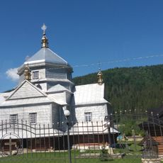
Church of the Holy Trinity, Mykulychyn
6.2 km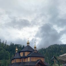
Saint Demetrius of Thessaloniki church in Tatariv
285 m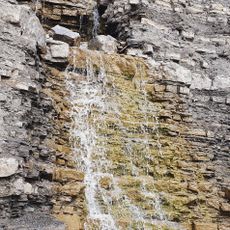
Kaplyvets Waterfall
10.1 km
Bludnyy Grun
11 km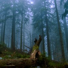
Smerekovi Karpaty Reserve
10.8 km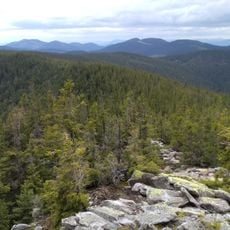
Pozheratulsky Preserve
11.6 km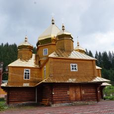
Saint Basil church, Yablunytsia
7.2 km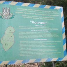
Kopchyn
6.9 km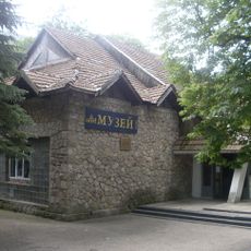
Yaremche museum ethnography and ecology
12 km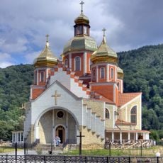
Nativity of St. John the Baptist
11.7 km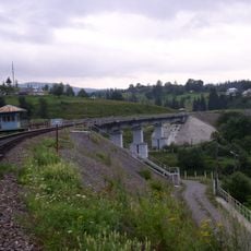
New Vorokhta Railway Bridge (East)
7 km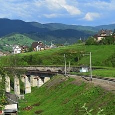
New Vorokhta Railway Bridge (West)
7.1 kmVisited this place? Tap the stars to rate it and share your experience / photos with the community! Try now! You can cancel it anytime.
Discover hidden gems everywhere you go!
From secret cafés to breathtaking viewpoints, skip the crowded tourist spots and find places that match your style. Our app makes it easy with voice search, smart filtering, route optimization, and insider tips from travelers worldwide. Download now for the complete mobile experience.

A unique approach to discovering new places❞
— Le Figaro
All the places worth exploring❞
— France Info
A tailor-made excursion in just a few clicks❞
— 20 Minutes