
Topkyi loh, hydrological reserve in Chernihiv Oblast, Ukraine
Location: Chernihiv Oblast
Location: Semenivka urban hromada
Inception: December 24, 1979
GPS coordinates: 52.06367,32.79512
Latest update: April 14, 2025 05:02
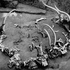
Mezine
33.4 km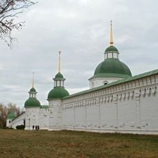
Transfiguration monastery
34 km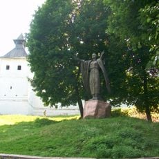
Novhorod-Siverskyi Fortress
33.3 km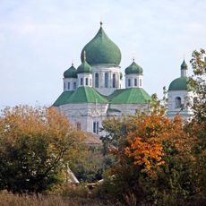
Dormition Cathedral
32.8 km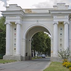
Triumphal Arch
33.4 km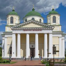
Transfiguration cathedral
34 km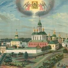
Pustynno-Rykhlovsky Monastery
43 km
Rykhlivska dacha
32.8 km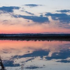
Vaden Lake
32 km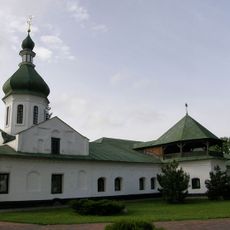
Novgorod-Seversky Historical and Cultural Museum-Reserve "The Tale of Igor's Campaign"
32.7 km
Church of the Intercession
28.2 km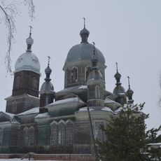
Георгиевская церковь
43.1 km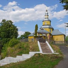
Микільська церква
32.2 km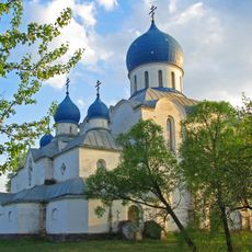
Church of the Intercession, Zhuklia
28.6 km
Velikyy Bir tract
37.8 km
Mezynska Shveitsariia
34 km
Brech Protected Area
46.9 km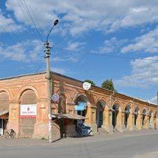
Torhovi riady
32.8 km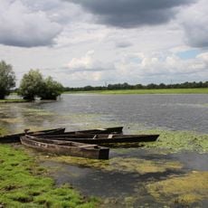
Desnianskyi Biosphere Reserve
45.7 km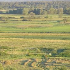
Putyvsk Zakaznyk
35.6 km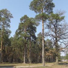
Bohdanivsky forest
45.5 km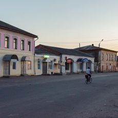
Torhovi sklady
32.7 km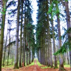
Starovynna yalynova aleia
43.1 km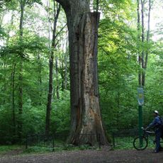
Centuries-old Oak
43.1 km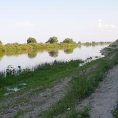
Погон (пам'ятка природи)
38 km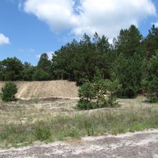
Бирине (заповідне урочище)
35.2 km
Будинок Новгород-Сіверської земської управи
34 km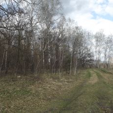
Ushynskyi zakaznyk
45 kmReviews
Visited this place? Tap the stars to rate it and share your experience / photos with the community! Try now! You can cancel it anytime.
Discover hidden gems everywhere you go!
From secret cafés to breathtaking viewpoints, skip the crowded tourist spots and find places that match your style. Our app makes it easy with voice search, smart filtering, route optimization, and insider tips from travelers worldwide. Download now for the complete mobile experience.

A unique approach to discovering new places❞
— Le Figaro
All the places worth exploring❞
— France Info
A tailor-made excursion in just a few clicks❞
— 20 Minutes