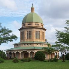
Geography of Uganda, Physical geography in Eastern Africa, Uganda
The geography of Uganda spans a country in Eastern Africa with varied landscapes including mountains, lakes, and plateaus. The terrain ranges from high peaks to fertile valleys and flat savannas in the north, with elevations gradually decreasing from south to north.
The Great Rift Valley system shaped Uganda's western border and created distinctive mountain ranges and a network of interconnected lakes over geological time. This tectonic activity over millions of years formed the foundations of the landscape and water systems visible today.
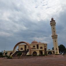
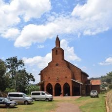
The varied terrain spanning wetlands to mountains shaped how more than 50 ethnic groups settled and developed their own farming and living practices. This geographic diversity shows itself in daily life through different local customs and traditions across regions.
When exploring the region, it helps to know that elevation and proximity to water significantly influence climate and vegetation. Visitors should prepare for varying conditions depending on whether they visit the humid lake and mountain zones or the drier savannas in the north.
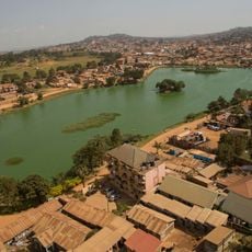
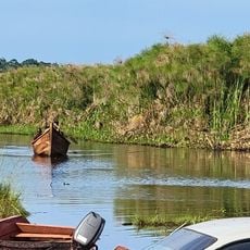
The convergence of three major waterways – Lake Victoria, Albert Nile, and Victoria Nile – creates a complex network of waters that connects numerous habitats. These water systems are crucial for drinking water and food supply to millions of people in the region.
The community of curious travelers
AroundUs brings together thousands of curated places, local tips, and hidden gems, enriched daily by 60,000 contributors worldwide.