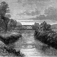
River Forth, Major river in Central Scotland
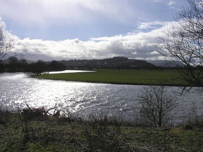
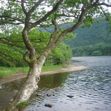
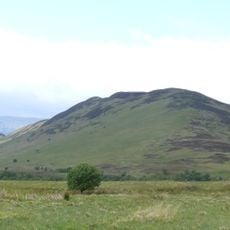
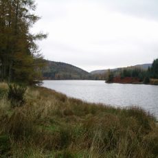
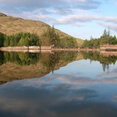
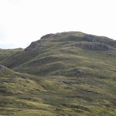
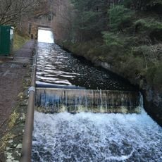
The River Forth is a major waterway in central Scotland that flows eastward from Loch Ard through Aberfoyle and Stirling before emptying into the North Sea. The river spans roughly 29 miles and creates a varied landscape with woodlands, open banks, and estuarine sections as it travels across the region.
The river held strategic importance during the Battle of Bannockburn in 1314, when it served as a natural boundary between opposing forces during Scotland's fight for independence. This moment shaped the region's future and marked the waterway as a significant site in Scottish history.
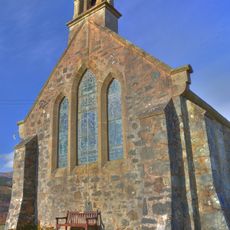
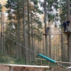
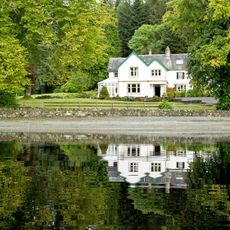
The waterway connects communities across central Scotland and remains woven into local daily life along its banks. People use its shores for walking, watching wildlife, and gathering, making it a natural meeting point for residents and visitors alike.
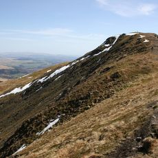
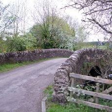
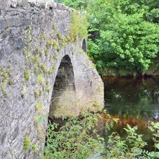
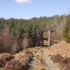
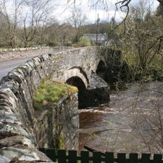
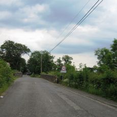
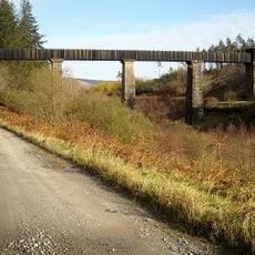
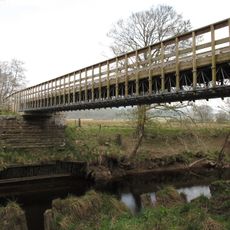
Multiple bridges cross the river, with walking and cycling paths running along both banks and connecting different sections of the waterway. The best way to explore is on foot or by bike, allowing you to move at your own pace and access various points of interest along the way.
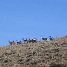
Two uninhabited islands, Tullibody Inch and Alloa Inch, sit within the estuarine waters downstream from Stirling. These quiet islands serve as nesting and resting spots for migratory birds and waterfowl that use the river corridor during their seasonal journeys.
The community of curious travelers
AroundUs brings together thousands of curated places, local tips, and hidden gems, enriched daily by 60,000 contributors worldwide.