Chest opened
+${chestReward.xp} XP
Explorer
NOUVEAU ×${chestReward.collectible.quantity}
tapez pour fermer
Chest locked

Open chests in the app

Around Us is built for your phone — chests unlock when you walk, explore and capture nearby places.

Enable Location

We need your location to show you interesting places around you

Discover nearby places

Find interesting locations and hidden gems around you

Precise directions

Get accurate directions and distances to places

Your location is never shared with other users. It's only used when you tap the location button.

River Adur

Log in to your account

Start exploring — it's free

Trusted by 72,891 travelers worldwide

Continue with Google
Continue with Apple
or

We will send you a code to connect

By continuing, you accept our Terms and Conditions and our Privacy Policy

Check your inbox

We've sent a pincode in your inbox. Please enter the code below.

River Adur
Discussion Reviews 1 Photos
9.8k Popularity

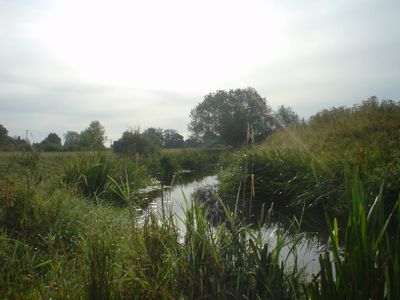
River Adur, River system in West Sussex, England

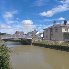
The River Adur is a river in West Sussex, England, formed by two main branches that join west of Henfield before flowing south toward the coast. It reaches the sea at Shoreham-by-Sea, where a short estuary opens onto the English Channel.

In the early medieval period, Steyning served as a port on the river, but silt gradually blocked navigation and the town lost its role as a trading hub by the 11th century. Activity along the water then moved downstream to Shoreham-by-Sea, which became the main settlement at the river mouth.

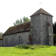
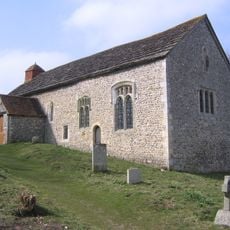
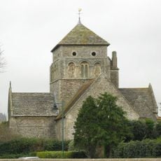
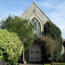
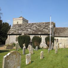
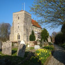
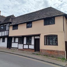
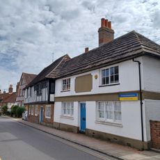
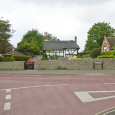
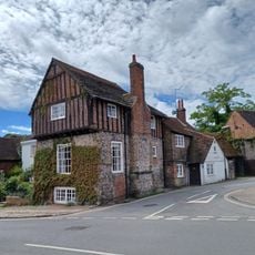
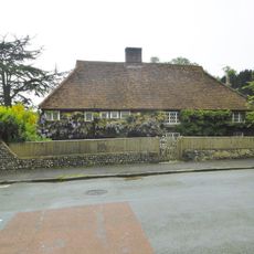
The river gave its name to the Adur district, and this connection is easy to notice in the place names and road signs along the banks. Villages like Bramber and Steyning, sitting close to the water, still have old stone churches and narrow lanes that reflect their ties to the waterway.

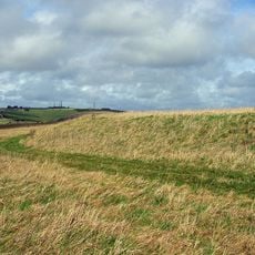
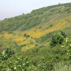
Footpaths run along much of the river, making it easy to walk stretches of the bank without any special equipment. Some sections can get muddy after rain, so wearing sturdy shoes is a good idea when planning a longer walk.

The river passes Knepp Castle, whose grounds were designed by John Nash, the same architect behind the early 19th-century remodeling of Buckingham Palace. Further upstream, Hammer Pond is a 16th-century pond built to power the hammers of an iron forge, a reminder that this quiet valley once supported a working industry.

The community of curious travelers

AroundUs brings together thousands of curated places, local tips, and hidden gems, enriched daily by 60,000 contributors worldwide.

Start exploring
Location
GPS coordinates
50.86843,-0.29869
Latest update
March 3, 2026 10:12
Reviews
Share your experience

No review yet

Discussions
Start a discussion...

No discussion yet

« River Adur - River system in West Sussex, England » is provided by Around Us (aroundus.com). Images and texts are derived from Wikimedia project under a Creative Commons license. You are allowed to copy, distribute, and modify copies of this page, under the conditions set by the license, as long as this note is clearly visible.

Discover hidden gems everywhere you go!

From secret cafés to breathtaking viewpoints, skip the crowded tourist spots and find places that match your style. Our app makes it easy with voice search, smart filtering, route optimization, and insider tips from travelers worldwide. Download now for the complete mobile experience.

Around Us App Screenshot

A unique approach to discovering new places

Le Figaro

All the places worth exploring

France Info

A tailor-made excursion in just a few clicks

20 Minutes

Around Us
Travel Guide & Maps
Download

Send to your phone

QR Code
1

Open the camera app on your mobile.

2

Point at the QR code with your camera. A notification will appear.

3

Tap the notification to open the link.