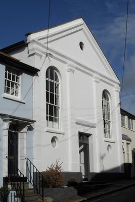
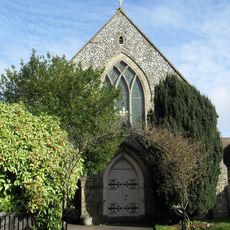
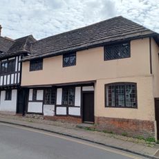
Jarvis Hall, Steyning, Grade II listed church building in Steyning, England.
Jarvis Hall stands as a neoclassical church building from 1835, featuring symmetrical facades with stuccoed walls, tall pilasters, and a prominent pediment with arched windows flanking a double doorway topped with a fanlight.
Originally established around 1835 as Trinity Chapel, this building served four different religious denominations including the Countess of Huntingdon's Connexion, Wesleyan Methodists, the Salvation Army, and Plymouth Brethren before ceasing religious use in 1987.
The hall played a central role in Steyning's Methodist community for over a century, hosting religious services, social gatherings, school events, and theatrical productions that strengthened local faith networks and community bonds.
Located on Jarvis Lane at coordinates 50.8872°N and -0.3251°W, the building received Grade II listed status in 1980, ensuring protection against unauthorized alterations while maintaining its architectural integrity for future generations.
The building's giant pediment originally housed a clock-face during its active chapel period, and its site traces back to medieval tenements linked to the 13th-century Gervays family, demonstrating centuries of continuous historical significance.
The community of curious travelers
AroundUs brings together thousands of curated places, local tips, and hidden gems, enriched daily by 60,000 contributors worldwide.