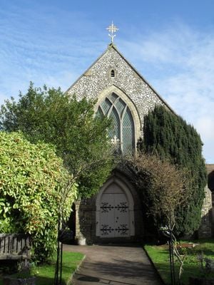
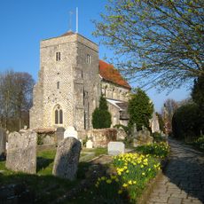
Steyning Methodist Church, Methodist religious building in Steyning, England.
Steyning Methodist Church is a Gothic Revival place of worship located on High Street, built with flint walls, yellow brick accents, and stone architectural features. The structure accommodates several hundred worshippers and includes meeting rooms, a kitchen, and other facilities that have been updated over the years.
The church opened in 1878 when local Wesleyan Methodists outgrew their previous chapel and needed a larger building. It was designed specifically to accommodate around 300 people as the congregation expanded.
This place functions as a gathering point for the local Methodist community and serves as a social hub for Steyning residents. It hosts regular worship services and community events that bring together people from the town and surrounding villages.
The church is easily accessible and located centrally on High Street, making it straightforward to find and visit. It is helpful to check ahead for service times and events to ensure you visit when the building is open for public access.
During both World Wars, the building functioned as a canteen serving armed forces personnel, showing its flexibility beyond religious purposes. This transformation demonstrates how the church adapted to serve the community during times of national crisis.
The community of curious travelers
AroundUs brings together thousands of curated places, local tips, and hidden gems, enriched daily by 60,000 contributors worldwide.