Islington, Residential district in North London, England.
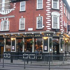
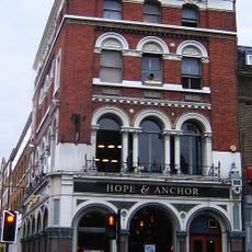
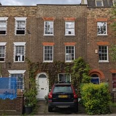
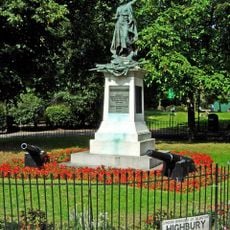
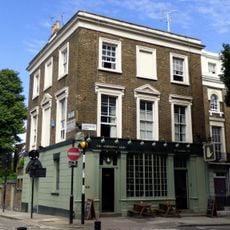
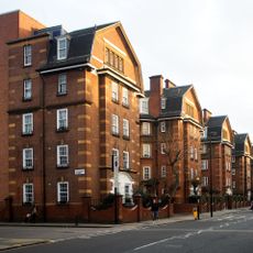
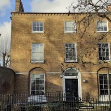
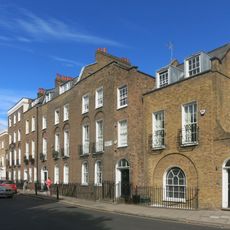
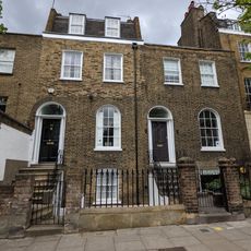
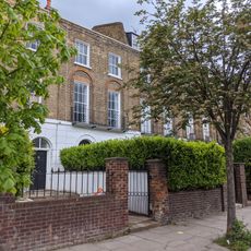
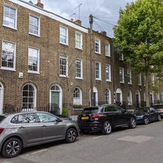
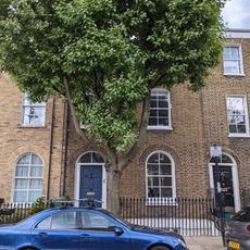
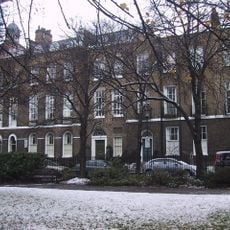
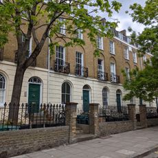
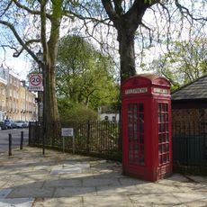
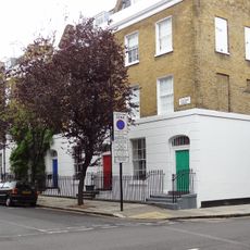
Islington is a district in North London that extends between Upper Street and Highbury Fields, characterized by Georgian terraces and Victorian buildings. The streets run in a grid from the central shopping street to residential neighborhoods with squares and small parks that open between the rows of houses.
The district developed from a Saxon village called Giseldone, which served mainly as a stopping point on the route north during medieval times. In the 17th century, orchards and vegetable fields transformed into a residential area that grew rapidly in the 19th century with the construction of railway lines.
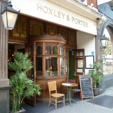
Camden Passage hosts an antiques market that spreads through several lanes every Wednesday and Saturday, drawing dealers with silver, ceramics, and jewelry from different periods. The surrounding streets are lined with small cafés and restaurants where locals and visitors gather for brunch or afternoon coffee.
Angel station on the Northern Line provides access through London's longest escalator, carrying passengers up 27 meters. Highbury & Islington connects several lines and Overground trains, creating links in all directions.
The New River Path follows an artificial channel built in 1613, which carried water over 62 kilometers from Hertfordshire and served as a main water source until the 1990s. Today the path runs through quiet sections between houses and gardens that barely hint at one of London's oldest water supplies.
The community of curious travelers
AroundUs brings together thousands of curated places, local tips, and hidden gems, enriched daily by 60,000 contributors worldwide.