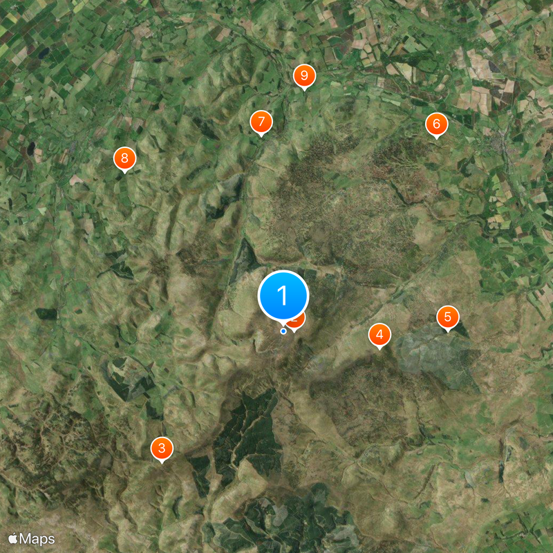
The Cheviot Hills, Mountain range at the border between Northumberland and Scottish Borders, United Kingdom.
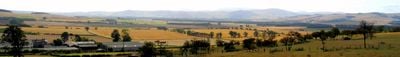
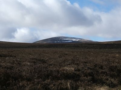
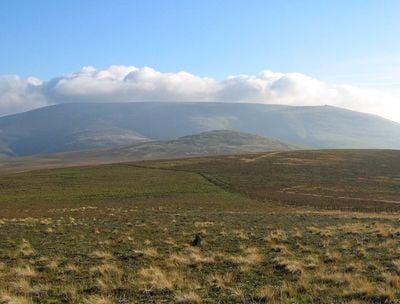
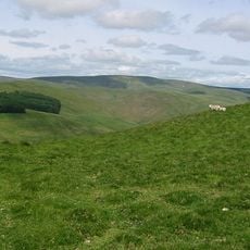
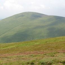
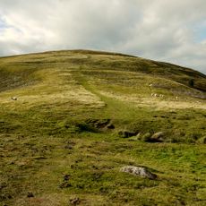
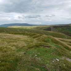
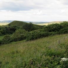
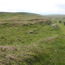
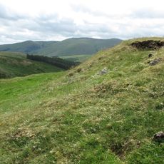
The Cheviot Hills is a mountain range at the border between Northumberland and the Scottish Borders, featuring steep slopes and rounded summit peaks. The terrain spans roughly 30 miles with the highest point reaching 815 meters above sea level.
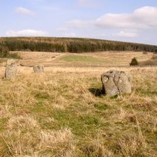
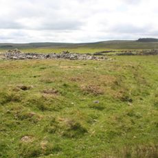
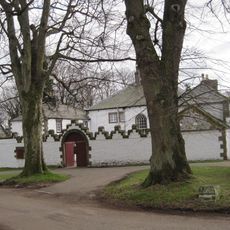
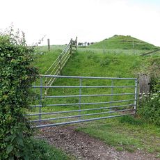
The region contains prehistoric settlements, as evidenced by the archaeological site of Yeavering Bell with its Iron Age fortifications. The hills later became an important boundary line between two kingdoms.
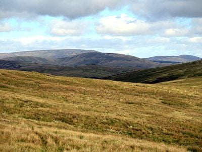
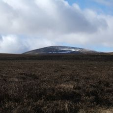
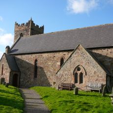
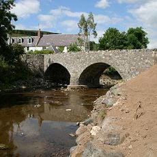
The hills form a natural border between England and Scotland, preserving ancient routes once used by cattle herders. These historic paths are now popular walking routes for visitors exploring the landscape.
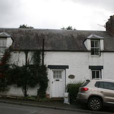
The Pennine Way offers an established path across the ridge with good access throughout the region. The town of Wooler serves as the main starting point and provides facilities for hikers.
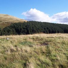
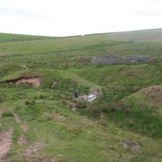
A large section of the southern hills is occupied by a military training estate used as a live firing range. This training area operates as one of Britain's largest military practice facilities.
The community of curious travelers
AroundUs brings together thousands of curated places, local tips, and hidden gems, enriched daily by 60,000 contributors worldwide.