Rotherham, Industrial market town in South Yorkshire, England
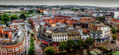
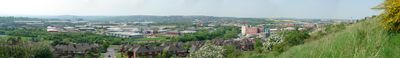
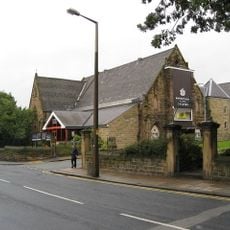
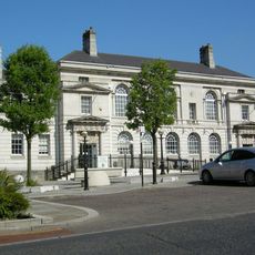
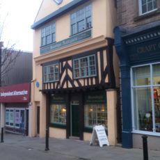
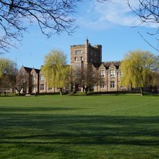
Rotherham is a town in South Yorkshire located where the Rother meets the Don, serving today as an administrative center with residential areas, shopping streets, and green spaces along both rivers. The town center combines older stone structures with newer shopping centers and offers walkways and public squares around the historic core.
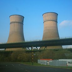
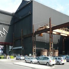
King John granted the settlement a charter in 1207, transforming it from a farming village into a trading center with market rights and commercial privileges. Later the area became shaped by iron and steel industry, with factories dominating the landscape into the 20th century.
The Rother River gave the town its name, and the historic center still shows traces of its time as a market town with streets and squares from different centuries. Today residents combine shopping areas with older buildings and use riverside parks for walks and recreation.
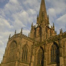
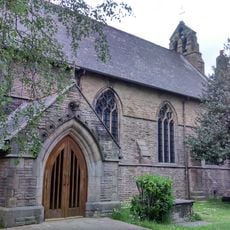
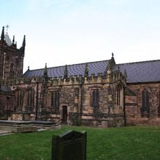
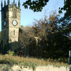
Visitors reach the town center on foot via bridges connecting both riverbanks and providing access to pedestrian zones and shops. Most public areas are accessible during daytime hours, and landmarks like the church tower and town hall help with wayfinding in the center.
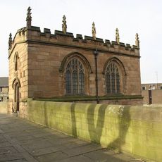
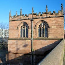
A small chapel stands on the bridge over the Rother and belongs to the four remaining bridge chapels in all of England. It dates from the Middle Ages and was originally used as a place for prayer and toll collection.
The community of curious travelers
AroundUs brings together thousands of curated places, local tips, and hidden gems, enriched daily by 60,000 contributors worldwide.