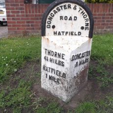
Thorne, Administrative division in Doncaster, England.
Thorne is an administrative division in northeast Doncaster situated on flat terrain crossed by canals and served by two railway stations. The area benefits from good transportation connections with direct access to major motorways and regional railway networks.
In the 17th century, engineer Cornelius Vermuyden transformed extensive marshland into farmable soil through drainage and canal systems. These early engineering projects permanently shaped the landscape and enabled settlement of otherwise unusable areas.
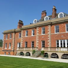
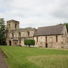
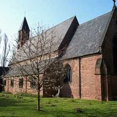
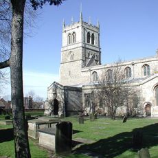
The parish church of Saint Nicholas dominates the town center with medieval architecture spanning centuries that reflects the community's spiritual life. Visitors can observe different building styles that show how the church developed over many generations.
The town is well accessible via two separate railway stations that offer regular connections to neighboring areas and southern regions. Visitors should note that the flat terrain creates good conditions for walking and cycling.
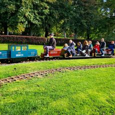
The Thorne Memorial Park features a working miniature railway that visitors can ride during warmer months. The park's bandstand regularly hosts performances by local brass bands that give the place a distinctive character.
The community of curious travelers
AroundUs brings together thousands of curated places, local tips, and hidden gems, enriched daily by 60,000 contributors worldwide.