Rock of Gibraltar, Limestone promontory in Gibraltar, United Kingdom.
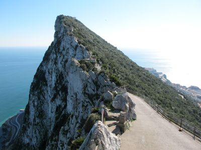
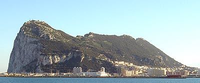
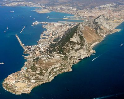
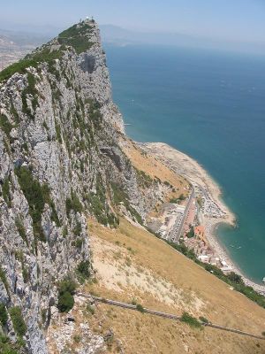
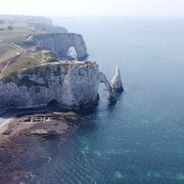
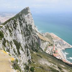
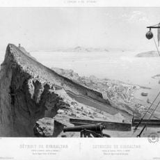
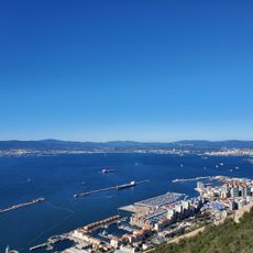
The Rock of Gibraltar is a limestone massif rising 426 meters (1398 feet) above sea level, marking the boundary where the Mediterranean Sea meets the Atlantic Ocean. The eastern face drops steeply in near-vertical cliffs, while the western slope carries gentler inclines with vegetation and built-up areas.
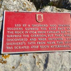
The Romans called this formation Mons Calpe and regarded it as one of the Pillars of Hercules, marking the western edge of the known world. In 711, Moorish forces seized the peninsula and gave it the name Jabal Tariq, mountain of Tariq, from which Gibraltar derives.
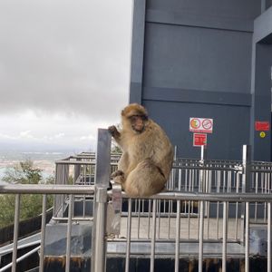
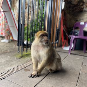
Local residents share their territory with a colony of Barbary macaques, which roam freely across the summit and pathways. These animals have become part of everyday life here, appearing in conversations, folklore, and the daily rhythm of the community.
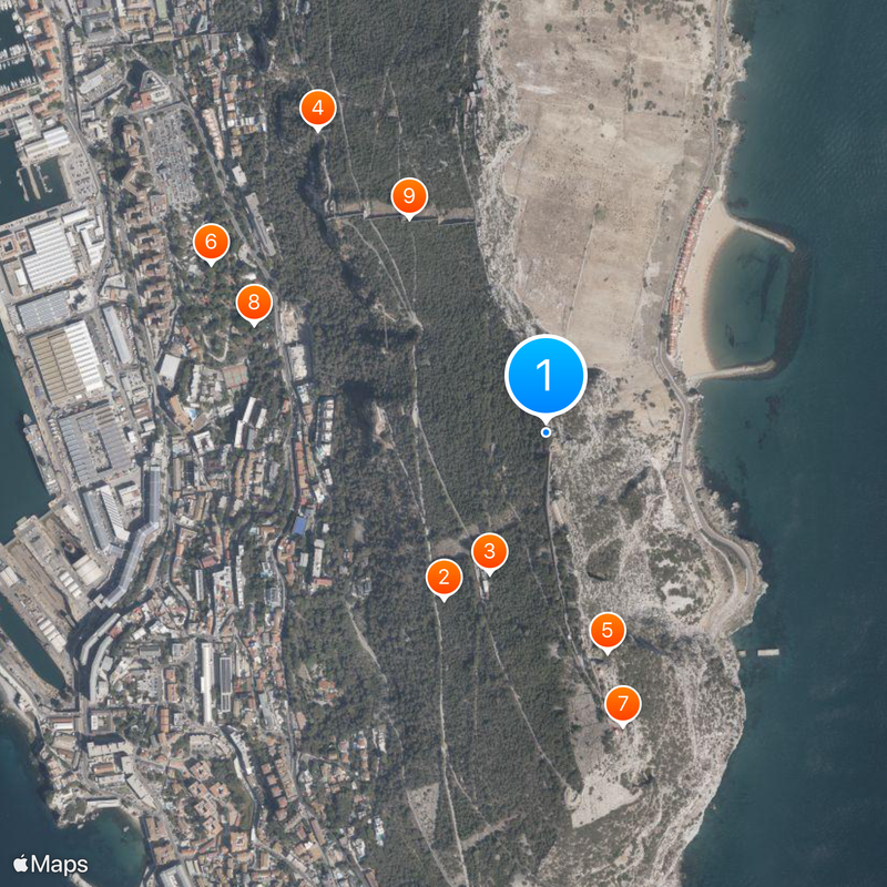
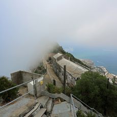
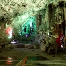
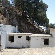
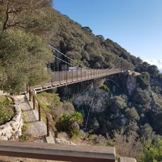
Several walking routes lead through the nature reserve to viewpoints, caves, and old military installations. Early morning offers quieter conditions and cooler temperatures for longer walks.
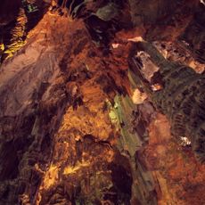
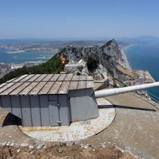
Inside the formation runs a tunnel network exceeding 55 kilometers (34 miles), longer than the entire road system of Gibraltar. Many of these underground passages were dug during the 18th century and expanded in later conflicts.
The community of curious travelers
AroundUs brings together thousands of curated places, local tips, and hidden gems, enriched daily by 60,000 contributors worldwide.