Chest opened
+${chestReward.xp} XP
Explorer
NOUVEAU ×${chestReward.collectible.quantity}
tapez pour fermer
Chest locked

Open chests in the app

Around Us is built for your phone — chests unlock when you walk, explore and capture nearby places.

Enable Location

We need your location to show you interesting places around you

Discover nearby places

Find interesting locations and hidden gems around you

Precise directions

Get accurate directions and distances to places

Your location is never shared with other users. It's only used when you tap the location button.

Log in to your account

Start exploring — it's free

Trusted by 72,874 travelers worldwide

Continue with Google
Continue with Apple
or

We will send you a code to connect

By continuing, you accept our Terms and Conditions and our Privacy Policy

Check your inbox

We've sent a pincode in your inbox. Please enter the code below.

Discussion Reviews Photo
15.4k Popularity

Wyre Forest, Parliamentary constituency in the United Kingdom, 1983 onwards

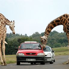
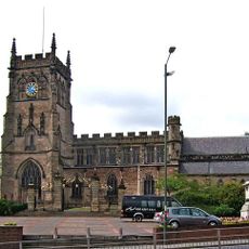
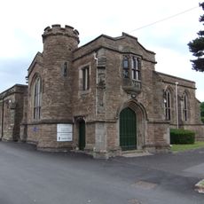
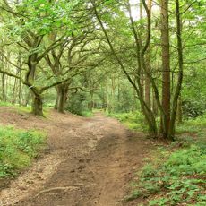
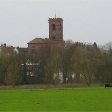
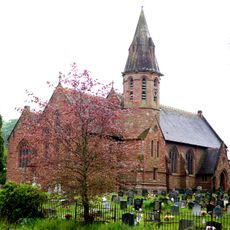
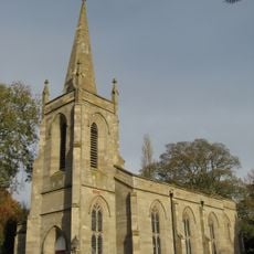
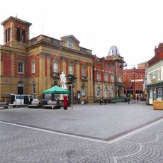
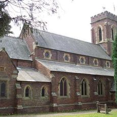
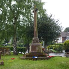
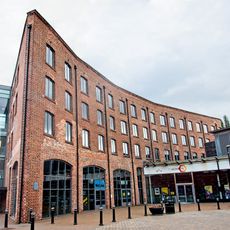
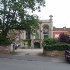
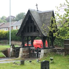
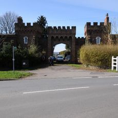
Wyre Forest is a large wooded area in the West Midlands and also a House of Commons constituency covering several small towns including Kidderminster, Bewdley, and Stourport-on-Severn. The region combines expansive woodlands with small rural communities, crisscrossed by walking trails and traditional buildings.

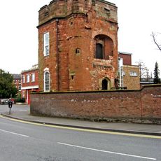
The woodland has existed for centuries, providing timber and resources to early communities. Nearby towns grew primarily due to textile and carpet manufacturing industries in the 1800s, an economic shift that shaped the region before it later turned toward tourism.

The name refers to both the woodland area and the electoral district encompassing several small towns. Visitors notice how residents regularly gather at local markets, meet in cafes, and spend time enjoying outdoor activities in and around the forest.

The area is easy to explore by car or bicycle, with marked walking trails open year-round. Kidderminster has a railway station with train connections to larger cities, while town centers offer shops, cafes, and parking at popular trail starting points.

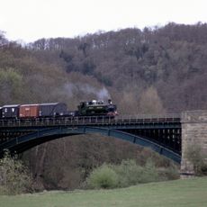
A former railway line that once carried steam trains is now a popular walking trail, showing how the area blends its industrial heritage with modern leisure use. Many local residents have personal memories of train journeys and now use the path for walks and nature watching.

The community of curious travelers

AroundUs brings together thousands of curated places, local tips, and hidden gems, enriched daily by 60,000 contributors worldwide.

Start exploring
Location
Inception
June 9, 1983
GPS coordinates
52.40000,-2.25000
Latest update
February 20, 2026 00:00
Around this place
West Midland Safari Park
United Kingdom

West Midland Safari Park

3.8 km
Severn Valley Railway
United Kingdom

Severn Valley Railway

1.9 km
Aggborough
United Kingdom

Aggborough

2.2 km
St Mary and All Saints' Church, Kidderminster
United Kingdom

St Mary and All Saints' Church, Kidderminster

1.1 km
Kidderminster Register Office
United Kingdom

Kidderminster Register Office

1.5 km
Kingsford Country Park
United Kingdom

Kingsford Country Park

4.1 km
Caldwall Castle
United Kingdom

Caldwall Castle

1.8 km
St. John's Church, Kidderminster
United Kingdom

St. John's Church, Kidderminster

1.6 km
Kidderminster Town Hall
United Kingdom

Kidderminster Town Hall

1.5 km
The Shrubbery
United Kingdom

The Shrubbery

1.4 km
St George's Church, Kidderminster
United Kingdom

St George's Church, Kidderminster

1.2 km
Church of St John the Baptist, Wolverley
United Kingdom

Church of St John the Baptist, Wolverley

1.3 km
Church of All Saints
United Kingdom

Church of All Saints

4.5 km
Church of St Mary
United Kingdom

Church of St Mary

4.4 km
Church of the Holy Trinity, Trimpley
United Kingdom

Church of the Holy Trinity, Trimpley

4.3 km
Statue of Sir Rowland Hill
United Kingdom

Statue of Sir Rowland Hill

1.5 km
Church of St Peter
United Kingdom

Church of St Peter

2.4 km
Wribbenhall War Memorial, North West of Church of All Saints
United Kingdom

Wribbenhall War Memorial, North West of Church of All Saints

4.5 km
Slingfield Mills, Chimney And Boiler House
United Kingdom

Slingfield Mills, Chimney And Boiler House

1.5 km
Rose Theatre, Kidderminster
United Kingdom

Rose Theatre, Kidderminster

868 m
Piano Building Warehouse And Canal Tow Path Bridge To South West Brintons Carpet Works
United Kingdom

Piano Building Warehouse And Canal Tow Path Bridge To South West Brintons Carpet Works

1.6 km
The Baxter Monument
United Kingdom

The Baxter Monument

1.2 km
Oak House, The Court House and The Old School House
United Kingdom

Oak House, The Court House and The Old School House

1.4 km
Hoobrook War Memorial
United Kingdom

Hoobrook War Memorial

3.3 km
Caldwall Hall
United Kingdom

Caldwall Hall

1.8 km
Churchyard Walls And Lychgate At Church Of All Saints
United Kingdom

Churchyard Walls And Lychgate At Church Of All Saints

4.5 km
Mortons Works (Former Carpet Manufacturing Company)
United Kingdom

Mortons Works (Former Carpet Manufacturing Company)

1.9 km
North Lodges And Gateway Of Lea Castle
United Kingdom

North Lodges And Gateway Of Lea Castle

2.2 km
Show the full map
Reviews
Share your experience

No review yet

Discussions
Start a discussion...

No discussion yet

« Wyre Forest - Parliamentary constituency in the United Kingdom, 1983 onwards » is provided by Around Us (aroundus.com). Images and texts are derived from Wikimedia project under a Creative Commons license. You are allowed to copy, distribute, and modify copies of this page, under the conditions set by the license, as long as this note is clearly visible.

Discover hidden gems everywhere you go!

From secret cafés to breathtaking viewpoints, skip the crowded tourist spots and find places that match your style. Our app makes it easy with voice search, smart filtering, route optimization, and insider tips from travelers worldwide. Download now for the complete mobile experience.

Around Us App Screenshot

A unique approach to discovering new places

Le Figaro

All the places worth exploring

France Info

A tailor-made excursion in just a few clicks

20 Minutes

Around Us
Travel Guide & Maps
Download

Send to your phone

QR Code
1

Open the camera app on your mobile.

2

Point at the QR code with your camera. A notification will appear.

3

Tap the notification to open the link.