Martha's Vineyard, Island in Dukes County, Massachusetts, United States.
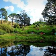
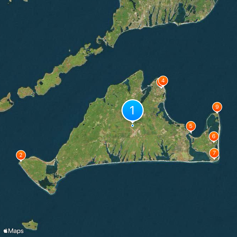
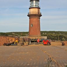
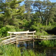
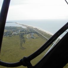
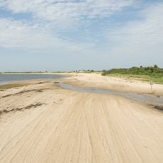
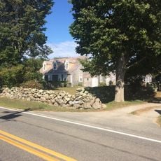
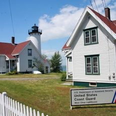
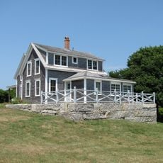
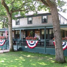
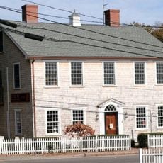
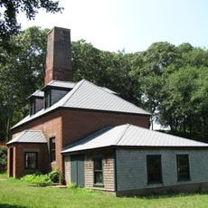
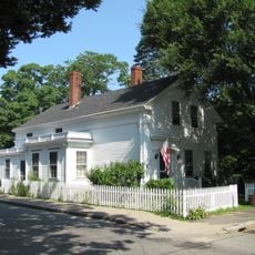
Martha's Vineyard is an island south of Cape Cod with rolling hills, forests, sandy beaches, and six coastal towns spread across about 100 square miles (260 km²). Each town shows its own streets with wooden houses, small harbors, and boardwalks along the bays.
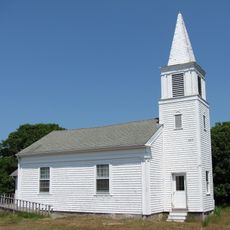
Wampanoag named the land Noepe before British settlers founded villages for farming, fishing, and whaling in the 1600s. In the 1800s, Methodist communities came for summer gatherings, and tourism began to grow.
The island shows a long arts tradition with many galleries, theaters, and festivals for literature, music, and film during the warm months. Local craftspeople offer their work in small studios spread across the coastal villages, often meeting visitors directly.
Regular ferries connect Woods Hole to Vineyard Haven and Oak Bluffs, while seasonal flights go to the island airport. You can travel between towns by bicycle, bus, or rental car, but roads are often busy in summer.
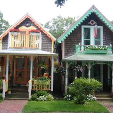
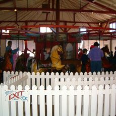
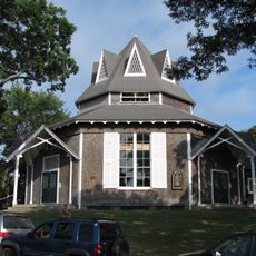
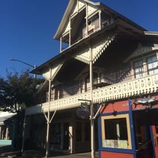
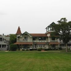
Oak Bluffs shows a collection of Victorian cottages with carved wooden trim and colorful paint from the Methodist summer camp era in the 1800s. Some cottages stand close together on narrow paths, almost like a small village within a village.
Location: Dukes County
Elevation above the sea: 24 m
Part of: Elizabeth Islands
GPS coordinates: 41.40000,-70.61667
Latest update: December 14, 2025 18:31
Photo license: CC BY-SA 3.0
Cinema transforms real places into legendary sets, and some filming locations have become as famous as the movies themselves. From Hobbiton in New Zealand, with its round-door houses built for Tolkien adaptations, to the Nabataean temple of Al Khazneh in Jordan, memorable from Indiana Jones and the...
Gay Head Light
19.1 km
Wesleyan Grove
7.7 km
Flying Horses Carousel
8 km
Edgartown Harbor Light
9.5 km
Mytoi
13.5 km
Wasque
14.3 kmManuel F. Correllus State Forest
802 m
Cape Poge Wildlife Refuge
13.9 km
Barn House
11.6 kmLambert's Cove Beach
6.9 kmLong Point Wildlife Refuge
4.6 km
Cape Poge Light
13.9 km
East Chop Light
8.8 kmPolly Hill Arboretum
5.3 km
Tarpaulin Cove Light
14 kmMartha's Vineyard Museum
8.5 km
West Chop Light
9.2 km
Union Chapel
7.8 km
Edgartown Village Historic District
8.8 km
Edwin DeVries Vanderhoop Homestead
19.3 km
West Chop Club Historic District
9 km
Ritter House
6.1 km
The Arcade
7.9 km
Tashmoo Springs Pumping Station
5.4 km
Dr. Harrison A. Tucker Cottage
7.9 km
William Street Historic District
6.4 km
Gay Head-Aquinnah Town Center Historic District
17.7 kmLoran Transmitting Station Martha's Vineyard
19.3 kmVisited this place? Tap the stars to rate it and share your experience / photos with the community! Try now! You can cancel it anytime.
Discover hidden gems everywhere you go!
From secret cafés to breathtaking viewpoints, skip the crowded tourist spots and find places that match your style. Our app makes it easy with voice search, smart filtering, route optimization, and insider tips from travelers worldwide. Download now for the complete mobile experience.
A unique approach to discovering new places❞
— Le Figaro
All the places worth exploring❞
— France Info
A tailor-made excursion in just a few clicks❞
— 20 Minutes