Dukes County, County administrative division in Edgartown, Massachusetts, United States
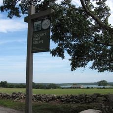
Dukes County is an administrative division encompassing Martha's Vineyard and the Elizabeth Islands along the Massachusetts coast. The territory includes multiple islands with distinct communities, where residents live and work in a primarily coastal environment.
The administrative division was established in 1695 to govern Martha's Vineyard and surrounding islands as a single unit. This creation provided organized governance for scattered island communities in the region.
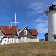
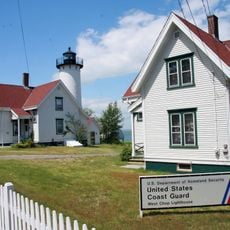
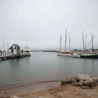
The county maintains strong maritime traditions through its year-round fishing activities, boat building practices, and seasonal community gatherings at the waterfront.
Visitors can access the various islands, each with its own transportation connections, which affects travel planning. It is helpful to research available connections between the islands before your visit.
The territory includes the Elizabeth Islands, a chain of 13 separate islands stretching southwest from Cape Cod. This island group forms a geographically distinct part of the region with its own ecosystems.
Location: Massachusetts
Inception: 1695
Capital city: Edgartown
Shares border with: Barnstable County, Plymouth County, Bristol County, Nantucket County
Website: http://dukescounty.org
GPS coordinates: 41.41484,-70.61268
Latest update: December 17, 2025 11:19
Gay Head Light
20 km
Wesleyan Grove
6.2 km
Flying Horses Carousel
6.6 km
Nobska Light
11.9 kmFalmouth Road Race
13.4 km
Edgartown Harbor Light
9.5 km
Mytoi
13.6 km
Wasque
14.7 km
Woods Hole Science Aquarium
13.4 km
South Cape Beach State Park
18.4 kmManuel F. Correllus State Forest
890 m
Cape Poge Wildlife Refuge
13.4 km
Demarest Lloyd State Park
33.3 km
Buzzards Bay Entrance Light
35.3 km
Barn House
12.8 kmLambert's Cove Beach
5.9 kmLong Point Wildlife Refuge
6.3 km
Cape Poge Light
13.4 km
East Chop Light
7.2 km
Slocum's River Reserve
36.4 kmPolly Hill Arboretum
6 km
Tarpaulin Cove Light
13.5 kmMartha's Vineyard Museum
8.6 km
Camp Washburn
16.5 km
West Chop Light
7.5 km
Arnie Allen Diamond
15.6 km
Union Chapel
6.3 km
Brewster Islands Military Reservation
24.5 kmVisited this place? Tap the stars to rate it and share your experience / photos with the community! Try now! You can cancel it anytime.
Discover hidden gems everywhere you go!
From secret cafés to breathtaking viewpoints, skip the crowded tourist spots and find places that match your style. Our app makes it easy with voice search, smart filtering, route optimization, and insider tips from travelers worldwide. Download now for the complete mobile experience.
A unique approach to discovering new places❞
— Le Figaro
All the places worth exploring❞
— France Info
A tailor-made excursion in just a few clicks❞
— 20 Minutes